Download
1 / 17
170 likes | 253 Views
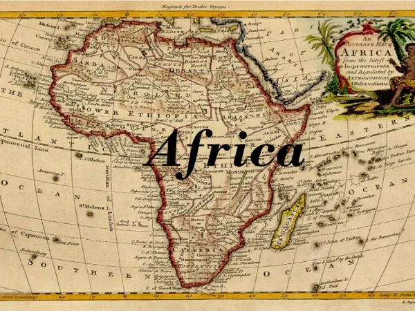
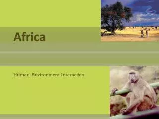
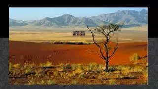
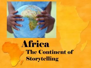
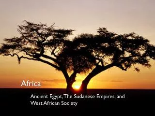
AFRICA. Geography. Mediterranean Sea. Strait of Gibraltar. Red Sea. Gulf of Aden. Gulf of Guinea. Indian Ocean. Atlantic Ocean. Mozambique Channel. Africa has a regular coastline Smooth Few natural ports and harbors Limits trade Coastline leads directly to desert or jungle

E N D
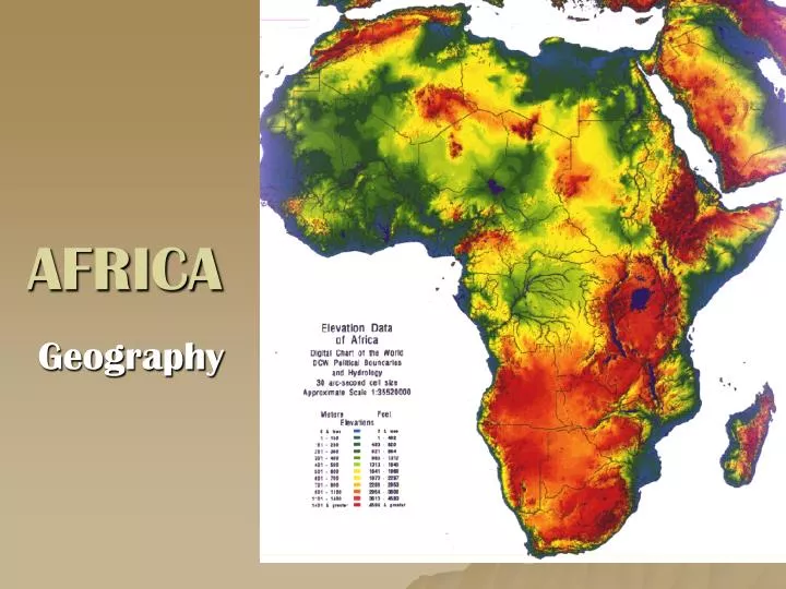
AFRICA Geography
Mediterranean Sea Strait of Gibraltar Red Sea Gulf of Aden Gulf of Guinea Indian Ocean Atlantic Ocean Mozambique Channel
Africa has a regular coastline Smooth Few natural ports and harbors Limits trade Coastline leads directly to desert or jungle Limited exploration by the Europeans Helps to isolate Africa Coastline
Bodies of Water • Lake Victoria • Lake Tanganyika • Lake Malawi
Great Rift Valley • 4,000 mile canyon in East Africa • Natural barrier • Site of many archeological discoveries, including “Lucy” or Homo Habilis, by Mary & Louis Leakey.
Great Rift Valley cont’d Great Rift Valley It is believed that Ancient man originated here Skeleton of “Lucy”- Remains of Ancient Female found in GRV
Savannas • Tall, mostly treeless grasslands that has both a dry and a wet season. • Covers approximately 45% of Africa • The majority of people & wildlife live in the savanna region.
Deserts • Cover about 40% of Africa • Sahara • Kalahari • Namib • Nubian
Mountains • Atlas Mts. • Drakensburg Mts. • Mt. Kilamanjaro • Highest mountains are located in eastern Africa.
Climate Zones • Africa has very diverse climate regions. • Desert • Steppe • Savanna • Rainforest • Mediterranean
Sahara Desert Located in Northern Africa Larger than the United States Occupies 1/3 of Africa Not a sandy desert: most of the desert is rock and gravel Causes geographic isolation Serves as a natural barrier separating the people of the Sahara and Southern Africa
Desertification • the process of fertile land becoming desert. • Causes: • Overuse/over farming, overgrazing and over cutting of trees for firewood. • Trees and grasses have root systems that hold topsoil in place, without them erosion blows or washes it away, and the land becomes desert.
Desertification con’t • Solutions: • Crop rotation: moving one type of crop to a different field each year. • Prevents the soil nutrients from being depleted year after year. • Planting tree belts also stops wind erosion
Rivers • Nile River • Niger R. • White Nile • Benue R. • Blue Nile • Congo R. • Zambezi R. • Victoria Falls
Nile River • The longest river in the world at 4,180 miles long. • It flowsNORTH from the mountainous region of Lake Victoria to the coastal plains of the Mediterranean Sea. • Cataracts- places where the river becomes shallow, rocks, rapids and waterfalls prevent navigation • Trade/transportation hindered- slowed, prevented by cataracts
“Gift of the Nile” • It is an annual, predictable flood that provides nutrient rich soil for crops to grow surrounded by desert. • Rich soil= silt • The Nile River valley was home to one of the world’s first civilizations: Egyptian civilization • The Egyptians created their calendar based off the annual overflow of the nile