Download
1 / 16
160 likes | 192 Views
Explore the effects of artificial channel transitions on sediment deposition and hydraulic performance in culvert systems across various Texas sites. Utilizing HEC-RAS as a design tool, this study aims to compare and contrast sediment accumulation patterns while evaluating the efficacy of design criteria.

E N D
The Effects of Channel Transitions on Culvert and Bridge Design Marla Sykora CE 394K.3
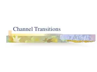
The Problem • Bridges and culverts are designed to allow the passage of natural and storm flows through highway embankments • Design criteria are based on allowing passage of critical flows while maintaining a minimum freeboard upstream • Sometimes, the required culvert size and geometry extend beyond the natural width of the channel • Artificial channel transitions are required, and these transitions disturb the natural channel regime • A result of the disturbance may be increased sediment deposition at the structure and decreased hydraulic performance
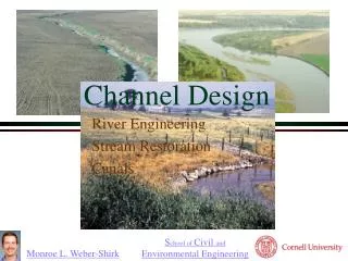
Project Goals • Demonstrate use of HEC-RAS as a design tool • Compare and contrast sites throughout Texas that exhibit sediment deposition within the culvert system ~ three sites were chosen for this purpose
HEC-RAS as a Design Tool • HEC-RAS was used in the design of a model channel for physical experiments • The channel prototype is a stream located near San Angelo, TX • The design parameters for the model are based on a 1:10 scale ratio • Channel cross-section data were entered based on the research design parameters
Site Locations • Upper Prairie Dog Town Fork Red ~ near Amarillo • Salt Fork Brazos ~ near Lubbock • South Concho ~ near San Angelo
South Concho Watershed • West of San Angelo, Texas • Intersection of US 277 and the South Concho River • USGS Gauging Stations 08127500 and 08128000
Salt Fork Brazos Watershed • Near Lubbock, Texas • Intersection of US 380 and the Brazos River • USGS Gauging Station 08081000
Upper Prairie Dog Town Fork Red Watershed • East of Amarillo, Texas • Intersection of State Highway 270 and Prairie Dog Town Fork • USGS Gauging Station 07297910
Future Work • Comparison of land use / land cover data • Comparison and analysis of gauging station discharge data • Determine if the data indicate consistent patterns from which we could predict when and where sediment deposition will occur