Download
1 / 10
100 likes | 200 Views
The Adirondack Park Blueline Expansion. Meg Harris Geography 184 Fall Semester 2006. Goal: To illustrate how the expansion of the Adirondack Park’s Blueline has changed its landscape. Sub-objectives: *explore land use within the park’s original and current boundaries *explore human impact.

E N D
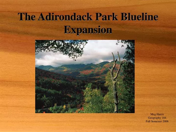
The Adirondack Park Blueline Expansion Meg Harris Geography 184 Fall Semester 2006
Goal: To illustrate how the expansion of the Adirondack Park’s Blueline has changed its landscape Sub-objectives: *explore land use within the park’s original and current boundaries *explore human impact
Methods • Adirondack Park Agency(APA) Shared GIS CD • 2 APA Land Classification Maps: (for original and current boundary comparisons) *symbology - altered and saved as a file *clip function *import symbology *data exporting, tables and graphs • 2 Old Growth/ Human Activity Maps: *lots of spatial joining *lots of selecting by attributes
Methods cont’d *making new layers from selections *lots of clipping *calculations and tables *1 Visual Aid/ Location Map *dissolve function
Results… • Roads, trains, trails, and recreation points riddle old growth areas all over the Adirondack Park • The original blueline outlines 4761 square miles that remain the richest but not completely untouched • Expansion of the blueline has not increased the amount of undeveloped areas by any significant percentage • Expansion has also opened the door for more development and impactual use of parklands • Blue line expansion, land management acts, and APA restrictions have reduced impact but not eliminated it
Problems • The ArcMap Demo CD -no coverage tools -no spatial analysis functions • Contradictory literature • Land classification definitions -Questionable APA evaluations and initiatives • Area discrepancies • Horrible outdated data from 2001