Stream Buffer Analysis and Processing for ACF Creeks and Water Bodies
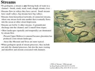
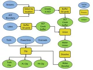
This project involves the analysis of stream buffers in the ACF area, specifically focusing on creeks and lakes. A buffer zone of 50 yards is established around each creek to assess the environmental impact on nearby trails, powerlines, and fireroads. The analysis includes selecting locations, processing ACF boundaries, and outputting relevant data for stream buffers. The study aims to enhance understanding of water impacts on surrounding areas and assist in environmental management strategies.

Stream Buffer Analysis and Processing for ACF Creeks and Water Bodies
E N D
Presentation Transcript
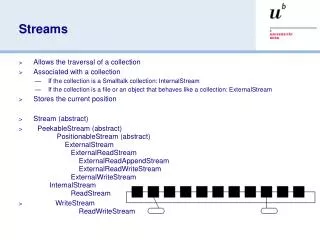
Streams Starting Layer Creeks in ACF Select by location Buffer 50 yards Process ACF Boundary Output ACF Creek buffer ACF Creek buffer Lakes Buffer 50 yards Union Trails Powerlines Fireroads Water Union Clip Dissolve Trails Clip PL Clip FR Clip Water Dissolve