Download
1 / 5
50 likes | 162 Views
The 2013 NHC Proving Ground. Held from Aug 1-Nov 30, but most products available sooner 11 GOES-R products in demo plan Hurricane Intensity Estimate Super Rapid Scan Operations (SRSO) data Tropical Overshooting Tops 7 RGB or multi-spectral color products

E N D
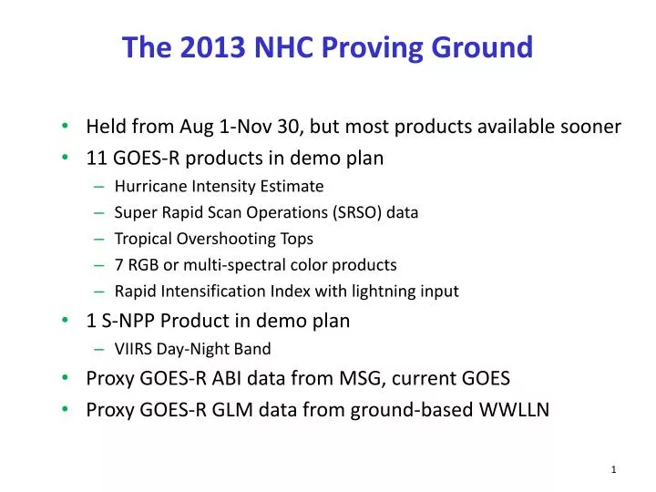
The 2013 NHC Proving Ground • Held from Aug 1-Nov 30, but most products available sooner • 11 GOES-R products in demo plan • Hurricane Intensity Estimate • Super Rapid Scan Operations (SRSO) data • Tropical Overshooting Tops • 7 RGB or multi-spectral color products • Rapid Intensification Index with lightning input • 1 S-NPP Product in demo plan • VIIRS Day-Night Band • Proxy GOES-R ABI data from MSG, current GOES • Proxy GOES-R GLM data from ground-based WWLLN
2013 NHC Proving Ground Highlights • Very quiet season in Atlantic, East Pacific also quiet • No Atlantic Rapid Intensification cases, no major hurricanes • Only one major hurricane in the East Pacific • No SRSO cases from GOES-14 due to slow season • Air Mass and Dust RGBs used often by HSU and TAFB • Considerable feedback on lightning data • Useful for continuity during GOES-east outage • Large lightning outbreaks for sheared storms • Consistent with rapid intensification algorithm • Radial scaling may be needed for small East Pacific storms • Hurricane Intensity Estimate higher refresh rate useful during Humberto • More efficient access to products obtained through new LDM feed to NHC from SPoRT
Lightning Outbreak Indicated Increased Shear in NHC’sTD Eleven Forecast Discussion 000 WTNT41 KNHC 300840 TCDAT1 TROPICAL DEPRESSION ELEVEN DISCUSSION NUMBER 6 NWS NATIONAL HURRICANE CENTER MIAMI FL AL112013 500 AM AST MON SEP 30 2013 THE CONVECTIVE CLOUD SHIELD REMAINS SHEARED NORTHEAST THROUGH SOUTHEAST OF THE CENTER. THERE HAS BEEN A NOTICEABLE INCREASE IN LIGHTNING ACTIVITY DURING THE PAST COUPLE OF HOURS...WHICH IS OFTEN INDICATIVE OF INCREASING VERTICAL WIND SHEAR. … $$ FORECASTER STEWART
GOES-East Outage on May 22Lightning data provided continuity of convective activity in gap between GOES-west and MSG
VIIRS Day-Night Band for Hurricane Manuel (East Pacific) in N-AWIPS