My Background
Introduction to Impact -Based Forecast and Warning Process Dr . Elizabeth Page Director, The COMET Program. My Background. Education and Training National Weather Service USA Impact-based Forecast experience Fire Weather Agricultural Weather

My Background
E N D
Presentation Transcript
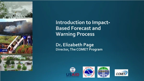
Introduction to Impact-Based Forecast and Warning ProcessDr. Elizabeth PageDirector, The COMET Program
My Background • Education and Training • National Weather Service USA • Impact-based Forecast experience • Fire Weather • Agricultural Weather • Coordinating WeatherReady Nations Program for USA www.meted.ucar.edu
Severe hydrometeorologicalevents profoundly impact people worldwide. Reorient Focus from what the weather Will be what the weather will do.
Why Impact-based Forecasting? Stakeholders make decisions based on weather impacts on their activities Forecasters focus on the needs and concerns of stakeholders Decision makers use weather information as one input
Impact-based forecasts and warnings Improve products and services for decision-making Deliver potential effectsof forecast weather on your stakeholders Warnings based on impact severity levels Inclusive effort with disaster management agencies and other stakeholders
Partnership with Stakeholders • Protecting life and property • Helping people take action by working with emergency managers and the media • Support economic decisions • Learning what information is needed • Successful impact-based forecasting requires collaboration
Moving Towards Impact-based Forecasting • In Summary • NMHS responsible for timely and accurate forecasts and warnings • Great effort is put into getting the forecast right • Stakeholders make decisions based on impact on lives, livelihood, property and economy • Need more than statements about hydrometeorological events • Information on disaster risk and forecasting impact • Challenge worldwide
International Developments? WMO: Disconnect between warning of hydromet events, and the understanding of their impacts ‘Weather warnings need to be more tailored towards the end-user’ (KNMI) ‘Weather warnings should only be issued if severe weather is expected to have an impact’ (UK) • IMPACT-BASED WARNINGS • UK implemented in 2011 • WMO Guidelines (latest version 2015) • Europe, USA, Australia in various versions • WRNs efforts
Disaster Management Survey Needs: • Matter-of-fact information • Communication that enables effective decision making • “Just tell me what is going to happen, when, where and how serious it will be”
Impact-Based forecasting To: Moving from: What the weather will be: - 50mm in 24 hours - 35 knot winds What the weather will do: - Roads flooded- Communities cut off
Key Concepts for IBF • Hazard • Forecast uncertainty • Exposure • Vulnerability • Risk • Partnerships
Moving Towards Impact based Forecasting What causes hazards to become human disasters? How does a good forecast, become a bad outcome?
Case Study – India • Event: Flooding • Place Uttarakhand, India • Date: 14-17 June, 2013 • Synopsis: • A convective storm brings 340 mm of rainfall • 375% of the daily normal during monsoon season • Devastating floods and landslides • Impact: • Over 5700 fatalities, 4200 villages affected
What worked Forecasts of heavy rainfall three days ahead of event Weather warnings were issued Media reported the forecasted heavy rainfall
What did not work? • Warning information was not fully understood by state government • Local preparedness for this magnitude of hazard was inadequate • Late response resulted in hazards to responders during rescue operations • Poor communication between central government and state disaster management agencies
What did not work? • Weather models and hazard models not coupled • Hazard information not translated to impacts • Communication channels failed • Hazard maps not properly utilized • Observation network inadequate to forecast on the scale required for the state
Case Study – China • Event: Tropical Cyclone Fitow • Place: China • Date: 06-08 October, 2013 • Synopsis: • 156 mm of precipitation, the most rainfall in 18 hours recorded since 1961 • Impacts: • 97 roads and 900 communities were flooded • 1.2 million people directly affected • 12 deaths https://sg.news.yahoo.com/typhoon-fitow-kills-10-east-china-province-171952703.html
Other factors • Using thresholds is limited • Specific guidance for the circumstance • Consider the vulnerability and exposure to the hazard. • Timing of an event • First day of school and work after the Chinese national holiday. • Highest alerts released while people were going to work https://www.express.co.uk/news/world/435222/China-hit-by-flooding-after-typhoon
We need to change from this… Warning: Heavy rain of more than 100mm in 24 hours is expected So?? What does it mean to me?
To an impact-based Early Warning System Warning: 1. Orange warning for rain with a medium likelihood of significant impacts2. Yellow warning for rain with a high likelihood of minor impacts 2 1 2 1
So, how does it work? • Impact tables define the different levels of impact • Impact level depends on vulnerability of the region • Disaster management agencies give input to the tables General description of different impact levels
Combine Likelihood and Potential Impacts to Determine Risk and Response
Thank you Questions?

