Download
1 / 5
50 likes | 65 Views
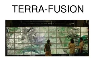
This project involves obtaining satellite data from the Terra server and performing 3D texture mapping to visualize live data. A system with 50 high-resolution monitors controlled by multi-casting is used for displaying the mapped data. The project also includes configuring OpenGL, creating a team website, and documenting the requirements. Researching tools like C++, OpenGL, HiPerWall, and more is essential for achieving the project goals.

E N D
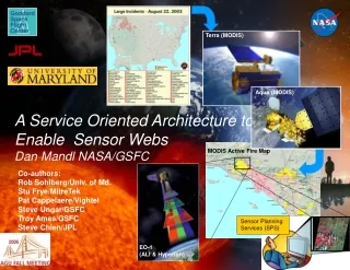
Risks and Uncertainties • Obtain satellite data from terra server • 3D texture mapping of live data • 50 high resolution monitors controlled by “multi-casting” • Configuring OpenGL with everything
Accomplished • Team Website • Requirements Document Iteration One • Met with customers and scheduled a weekly meeting time and location • Researching tools
Tools • C++ and OpenGL • HiPerWall • POSIX threads • Google Earth • Nasa’s World Wind • WW2D
Planned • Network code for retrieving data from terra server • Converting open-source algorithms to C++ in our environment • Displaying an image on the HIPerWall • Concurrent versioning (CVS or SVN) • Advancing our website