Download
1 / 8
80 likes | 101 Views
Discover the evolution of a university geology capstone field course, focusing on implementing rubric-based assessments to enhance student mapping projects. The article addresses the need for assessing critical thinking and inquiry skills in field settings. It discusses the program overview, tools used, and student contributions during the traditional 5-week field immersion experience. An example of applying the Mapping Rubric in a final project is detailed, evaluating competencies in geologic knowledge, research planning, data analysis, teamwork, and more. The assessment approach's effectiveness is supported by qualitative feedback and emerging quantitative data.

E N D
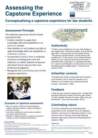
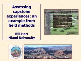
Assessing capstone experiences: an example from field methods Bill Hart Miami University
In response to: • Our observations and experiences since 1999 in revising, broadening, and strengthening the Miami University capstone field geology course; • Renewed recognition that the field course setting is an excellent one for evaluating an array of student proficiencies, and is particularly well-suited to assess student inquiry and critical thinking skills; • University-wide assessment workshops and projects sponsored by the Miami University Assessment Office, Office of Liberal Education, most specifically a) the Assessing Critical Thinking Project and b) the Outcomes in the Major Project; and • Our frustration with aspects of the “established” field teaching/learning environment and a notion that student learning, faculty teaching, and student outcomes would all improve with the application of rubric-based expectations and assessment … … we began testing various rubric formats for the evaluation of student mapping projects. While only three years old and in a constant state of modification, the following general rubric format has proven valuable and highly usable.
General understanding of problem; Basic geological background; Design and approach; Sense of product quality Geological knowledge; Creation of a research plan; Primary data gathering and critical analysis; Hypothesis creation and testing; Perseverance and teamwork Broader context of primary data; Data interpretation; Additional hypothesis testing; Inferences, conclusions and critical thought processes
A traditional * 5-week immersion experience with bedrock geologic mapping as the central theme and regional Cordilleran geology as the sub-theme. Note: traditional is hereafter used to refer to an extended, immersion field experience with bedrock mapping as a central theme. Program Overview • Primary tools: hand lens; rock hammer; compass/pocket transit; topographic maps, air photos, satellite imagery, hand-held radios, GPS receivers, and limited computer lab resources for GPS data downloads, simple GIS applications, and print outs of working field base maps. • Initial two weeks: regional geology portion of course including Snake River Plain-Yellowstone and southern Canadian Rocky Mountains. • Final three weeks: northwestern Wind River Basin region based out of Timberline Ranch, Dubois, WY.
Student contributions; the traveling portion … • Interpretations of basalt-rhyolite stratigraphy on the eastern Snake River Plain. • Geologic map of Craters of the Moon NM basalts and underlying units. • Geologic map of a portion of Lewis & Clark Caverns State Park, MT. • Geologic strip map through multiple thrust sheets, Sun Canyon, MT. • Presentations on the geologic and structural development of the southern Canadian Rockies during a two-day transect. • Generalized geologic cross-section of the Canadian Rockies from Banff through the Western Main Ranges. Student contributions; the ranch portion … • One-day mapping project (team effort). • Three-day mapping project in Precambrian through Paleozoic sequence with minor structural complexity (team mapping and final materials). • Four-day mapping project in Precambrian through Paleozoic sequence with minor structural complexities (team mapping and final materials). • One-day individual mapping project (only logistic assistance given by instructors). • Four-day mapping project in Mesozoic sequence with substantial structural complexity (team mapping and individual final materials) [Final Project]
An Example Application of the MUGFS Mapping Rubric: • The Final Mapping Project (Little Horse Cr.; 4-days) • Describe and map in Mesozoic sedimentary units. • Considerable structural complexity in a small area (folds and faults). • Difficult unit identifications; overturned beds; many covered contacts.
Project-specific grading elements adapted to rubric categories 4 Highly Competent; 3 Competent; 2 Minimally Competent; 1 Not Competent
E1a General Information E1b Lithologic Descriptions E2 Presentation and Legibility E3 Primary Geologic Information E4 Geologic Cross-Section(s) 4 Highly Competent 3 Competent 2 Minimally Competent 1 Not Competent How is it working? There is qualitative evidence (instructor/student feedback) that improvements in teaching methodology, clarity of expectations, various aspects of field learning, student inquiry and critical thinking skills, and quality of final mapping project products have resulted. The small, but growing quantitative dataset illustrated below reaffirms these assertions.