Download
1 / 11
110 likes | 262 Views
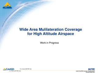
Wide Area Mulilateration Coverage for High Altitude Airspace. Work in Progress. Dilution of Precision Analysis. 100% passive multilateration coverage only Assumes no uplinks (equivalently, no uplink limitations) Assumes multilat system continues to operate normally during a GPS outage

E N D
Wide Area Mulilateration Coverage for High Altitude Airspace Work in Progress
Dilution of Precision Analysis • 100% passive multilateration coverage only • Assumes no uplinks (equivalently, no uplink limitations) • Assumes multilat system continues to operate normally during a GPS outage • Requires three stations in view (time difference of arrival constraint) • Includes geometry constraints (i.e., HDOP) • Assumes multilat system successfully resolves any position ambiguities • Assumes maximum range of 200 NM • Consistent with Mode S transponders (not UAT) • Does include line-of-sight blockage by terrain • Based on actual antenna heights 22
DOP Coverage at 18,000 ft. MSL DME Only ITT GBT Only Preliminary Results DME & GBT
DOP Coverage at 24,000 ft. MSL DME Only ITT GBT Only Preliminary Results DME & GBT
“Better than Best Case” Analysis • 100% passive multilateration coverage only • Assumes no uplinks (equivalently, no uplink limitations) • Assumes multilat system continues to operate normally during a GPS outage • Requires three stations in view (time difference of arrival constraint) • Does not include geometry constraints (e.g., HDOP) • Assumes multilat system successfully resolves any position ambiguities • Assumes maximum range of 200 NM • Consistent with Mode S transponders (not UAT) • Does include line-of-sight blockage by terrain • Based on actual antenna heights • First cut: ADS-B sites only • Next step: ADS-B sites plus FAA DME sites 66
Color Codes for Coverage Maps • This initial step involves a cross-check between two models: RACOMS and Beam • Line-of-sight coverage count • Orange = 3 sites provide coverage • Green = at least 4 sites provide coverage 77
ITT Site Coverage at 18,000 ft. MSL Preliminary results from cross-check between two models: ADS-B sites only RACOMS Beam 88
ITT + DME Site Coverage at 18,000 ft. MSL Preliminary results from cross-check between two models: ADS-B sites only RACOMS Beam 99
ITT Site Coverage at 24,000 ft. MSL Preliminary results from cross-check between two models: ADS-B sites only RACOMS Beam 1010
ITT + DME Site Coverage at 24,000 ft. MSL Preliminary results from cross-check between two models: ADS-B sites only RACOMS Beam 1111