Download

1 / 3
0 likes | 5 Views
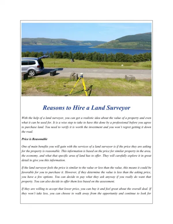
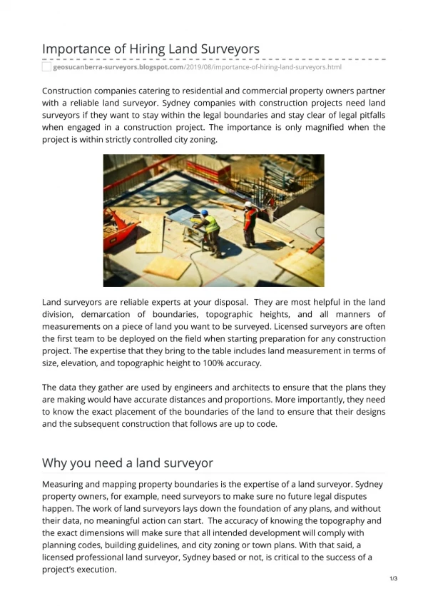
While many associate surveyors with the simple (yet essential) act of measuring property, the<br>services offered by a modern land surveyor OKC extend far beyond measurements.<br>Professional surveyors often provide a range of services that are fundamental to construction<br>projects, informed property transactions, and effective land management. Understanding<br>this variety can help you identify the support that your project needs.<br>

E N D
Services Offered By a Professional Land Surveyor OKC While many associate surveyors with the simple (yet essential) act of measuring property, the services offered by a modern land surveyor OKC extend far beyond measurements. Professional surveyors often provide a range of services that are fundamental to construction projects, informed property transactions, and effective land management. Understanding this variety can help you identify the support that your project needs. Foundational Land Surveying Services While there are many types of surveys, these three foundational styles ensure clarity, legality, and proper understanding of a parcel of land: Boundary Surveys A boundary survey establishes the legal boundaries of a property. For this, licensed surveyors research historical records, deeds, and previous surveys, then perform field measurements to locate or re-establish property corners and lines. It ensures that you are building within your legal limits, making it a vital aspect of resolving property disputes, making a land purchase, or preparing for construction projects. Topographic Surveys Understanding the lay of the land is critical for development. A topographic survey helps with this, as it maps the property’s three-dimensional features, including the: Elevations and contours. Locations of natural elements (like trees and water bodies). Man-made structures (like buildings and roads). ● ● ● This information is indispensable for architects, engineers, and planners as they design structures, plan drainage, and ensure site suitability. For larger tracts, an aerial topographic survey may be conducted for efficient data collection. ALTA/NSPS Surveys Often required for commercial real estate transactions, an ALTA/NSPS Land Title Survey is highly detailed and comprehensive. Conducted according to standards set by the American Land Title Association (ALTA) and by the National Society of Professional Surveyors (NSPS), these surveys provide lenders and buyers with critical information regarding: Property boundaries. Encroachments. ● ●
Easements. Relevant site conditions. ● ● These details help minimize the risks that are associated with property investments. Advanced Technologies and Services Modern surveying firms use sophisticated tools to deliver highly accurate and efficient services, including: 3D Laser Scanning 3D laser scanners capture detailed three-dimensional data from complex environments or structures. A scanner emits laser beams to measure millions of points, creating a “point cloud” that can be transformed into accurate 3D models. This technology assists with as-built documentation, architectural restoration, structural deformation monitoring, and precise model creation. UAV Mapping (Drones) Unmanned Aerial Vehicles are powerful land surveying tools. Equipped with advanced sensors and high-resolution cameras, UAVs can quickly survey large tracts, difficult-to-access areas, and spaces with rough terrain. This equipment has a variety of uses; for example, an aerial topographic survey provides rich data for site analysis, volume calculations, and progress monitoring on construction sites. GPS Surveying Global Positioning System technology allows for the highly accurate determination of geographic locations. This surveying equipment integrates seamlessly with various methods, ensuring consistent and reliable spatial data across project phases. In particular, GPS surveys have a fundamental role in establishing control networks, mapping extensive areas, and conducting surveys where traditional line-of-sight methods are challenging. Services Supporting Development Projects A land surveyor OKC may offer additional services that are integral to project planning, design, and execution, such as: Construction Layout (Staking) The construction layout process is critical to translating design plans onto the site. Surveyors stake out the precise locations and elevations for proposed structures, roads, utilities, and other improvements. This ensures that construction proceeds according to plan, preventing
costly errors and delays. The data from a GPS survey is especially helpful for this, as it offers an enhanced level of accuracy. Land Planning Effective land planning is essential for the sustainable and functional development of a parcel of land. This service involves the strategic design of land use, with planners considering various aspects, such as: Zoning regulation. Environmental factors. Site suitability. Community needs. ● ● ● ● Surveyors and planners work with clients, architects, and engineers to create subdivision designs, site plans, and master plans that optimize land use while adhering to regulations. Civil Engineering To provide even more comprehensive project support, many firms offer integrated civil engineering services. These services may include: Site design. Grading and drainage plans. Utility design. Erosion control plans. ● ● ● ● These are directly informed by detailed land surveys, so having these services under one roof streamlines project coordination and enhances efficiency. Searching for a Land Surveyor OKC With Comprehensive Solutions? From establishing property lines through aerial topographic surveys to supporting restorations through 3D laser scanners, the right surveyor will provide data and expertise that is indispensable for anyone involved in land ownership, development, or construction. Sisemore & Associates is prepared to provide those essential services. Our experienced land surveying, land planning, and civil engineering professionals deliver precise, reliable results to our clients to streamline their projects and support their success. To learn more or to partner with us, please get in touch.