Map
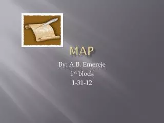
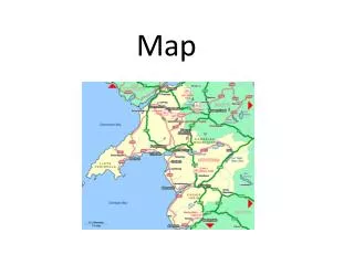
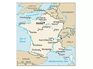
Map. Water : Atlantic Ocean North Sea Mediterranean Sea English Channel Countries : FRANCE IRELAND ENGLAND SPAIN, PORTUGAL, DENMARK, SCOTLAND Kingdoms : Aquitaine Brittany Normandy Anjou Vexin

Map
E N D
Presentation Transcript
Map • Water: Atlantic Ocean North Sea Mediterranean Sea English Channel • Countries: FRANCE IRELAND ENGLAND SPAIN, PORTUGAL, DENMARK, SCOTLAND • Kingdoms: Aquitaine Brittany Normandy Anjou Vexin • Cities: Bordeaux Portiers Paris St. Denis London Salisbury Canterbury
Map Rubric • Your Name and Class period • ALL Points labeled (See the slide before this one) • Capitalize names of places • Spelling • OUTLINE • Color. No white. • Water= blue • NEATNESS!!!!!
Cities: Bordeaux PortiersParis St. Denis London Salisbury CanterburyKingdoms: Aquitaine Brittany Normandy Anjou Vexin Water: Atlantic Ocean North Sea Mediterranean Sea English Channel Countries: FRANCE IRELAND ENGLAND SPAIN PORTUGAL DENMARK SCOTLAND