Download
1 / 13
130 likes | 262 Views
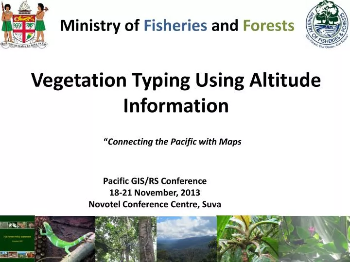
Ministry of Fisheries and Forests. Vegetation Typing Using Altitude Information. “ Connecting the Pacific with Maps. Pacific GIS/RS Conference 18-21 November, 2013 Novotel Conference Centre, Suva. Overview. Objective Methodology Challenges Way Forward!. Objective.

E N D
Ministry of Fisheries and Forests Vegetation Typing Using Altitude Information “Connecting the Pacific with Maps Pacific GIS/RS Conference 18-21 November, 2013 Novotel Conference Centre, Suva
Overview • Objective • Methodology • Challenges • Way Forward!
Objective Typing to determine the different ecological composition relating to differentaltitudes.
Methodology Input Data – Forest Cover
Challenges • Contour Map and DTM map for Vanua Levu – incomplete • No formal training for ArcGIS • Connectivity problems - internal
Way Forward • Vegetation typing for Vanua Levu and other islands. • Dry and wet forest mapping using precipitation • Sub-category mapping from high resolution satellite images.
Callophylluminnophyllum Vinakavakalevu