Download
1 / 5
80 likes | 344 Views
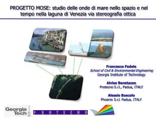
PROGETTO MOSE: studio delle onde di mare nello spazio e nel tempo nella laguna di Venezia via stereografia ottica. Francesco Fedele School of Civil & Environmental Engineering Georgia Institute of Technology Alvise Benetazzo Protecno S.r.l ., Padua, ITALY Alessio Boscolo

E N D
PROGETTO MOSE: studio delleondedi mare nellospazio e nel tempo nellalagunadiVenezia via stereografiaottica Francesco Fedele School of Civil & Environmental Engineering Georgia Institute of Technology AlviseBenetazzo ProtecnoS.r.l., Padua, ITALY AlessioBoscolo Phoenix S.r.l. Padua, ITALY
4. WAVE ACQUISITION and ANALYSIS STEREO SYSTEM (WASS) SeaWaves package • Auto Calibration software • Image acquisition softwareBi/Trinocular Synchronized digital cameras • Image processing software • (Epipolar /Variational Stereo method)
Progetto MOSE: analisinellospazio e nel tempo delleondedi mare nellalagunadiVenezia via tecnique video stereografiche MOSE mobile flood barriers for the defence of Venice Analysis of wave 2D pattern water level and hydrodynamic forces Venice harbour Authority Analysis of ship generated waves on Venice hystorical buildings
9. Water surface elevation in time: example • Z0 ~ 1.70 m, b = 0.22 m • Matched Area : 0.94 x 0.78 m2 • erx = ery= 0.15 cm, erz = 0.69 cm • 90 % of points matched • 480 x 640 pixel camera • F = 6.3 mm, ss=1/200 s Time evolution (from 2D image sequences to 3D map sequence)
10. VARIATIONAL WAVE ACQUISITION STEREO SYSTEM (VWASS) Input stereo pair images. The rectangular domain (8 m x 8.7 m). The height of the waves is in the range ±0.3 m Y Y Reconstructed wave surface