Download
1 / 14
150 likes | 177 Views
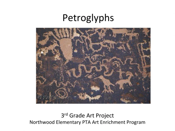
Explore the innovative use of digital photogrammetry technology in recording petroglyphs, with insights from Dr. Jim Chandler and Prof. John Fryer. Learn about image acquisition, photogrammetry processes, and data visualization techniques for enhancing ancient rock art. Discover the potentials and challenges of generating Digital Elevation Models and the application of sophisticated imaging tools in archaeological research.

E N D
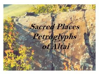
Recording Petroglyphs Dr Jim Chandler, Loughborough University, UK Prof. John Fryer, University of Newcastle, NSW, Australia
The problem Yengo National Park, NSW
Raw imagery “dry” “wet”
Digital camera sensors • Any digital camera with 5 Megapixels or more will do the job! • Probably can use your phone camera in a year or two!
Control requirements • Either: • Simple scale bar • Targets
Photogrammetry Process • We used Imagine/OrthoBase/LPS • Cost- AU$ 28,000 • New Products coming onto the market are much cheaper • Still fairly complex to use
Photogrammetry • Generation of the Digital Elevation Model (DEM) … this is the 3-D shape of the ground • Use this shape to ‘correct’ the images so they represent a true flat plan of the surface • Enhance (deepen) the grooves and fit the corrected image over them
Data products- DEM • Big Fella DEM • Initially, limited value!? Slope shading helps?
Image processing reveals data! • Erdas “Spatial Model” tool • Now we can see it!
Accuracies? +/- 2mm DEM measured using reflectorless Total Station Difference DEM: Nikon - TStation Cross-section Eyes
Visualisation (1) • DEM • Different lighting • Draped ortho- “dry” • “Wet”
Visualisation (2) • Fly through movie
Conclusion • Publication put into Rock Art Research • Where to next? j.h.chandler@lboro.ac.ukhttp://www-staff.lboro.ac.uk/~cvjhc/index.htm