Download

1 / 16
190 likes | 370 Views
The History of Remote Sensing. Prof. Arnon Karnieli The Remote Sensing Laboratory Jacob Blaustein Institute for Desert Research Ben-Gurion University of the Negev Sede-Boker Campus 84990, ISRAEL. 1827 – First photograph.

E N D
The History of Remote Sensing Prof. Arnon Karnieli The Remote Sensing Laboratory Jacob Blaustein Institute for Desert Research Ben-Gurion University of the Negev Sede-Boker Campus 84990, ISRAEL
1827 – First photograph The first photograph was obtained by Joseph Nicephore Niepce of his French estate courtyard in 1827. The exposure lasted 8 hours and used an emulsion of Bitumen of Judea, a kind of asphalt.
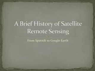
1858 The first known aerial photograph was obtain by by G.F. Tournachon (Nader) form a balloon, 600 m above Paris.
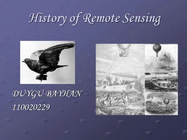
1903 The “Bavarian Pigeon Corps” uses pigeons to transmit messages and to take aerial photos.
1906 G.R. Lawrence mounted cameras on balloons
1914 – 1919 World War I WW1 was a major impetus to development of aerial photography, mainly for aerial reconnaissance.
After 1919 After WW1 the technology was in place to begin large scale aerial surveys, photo interpretation begun.
1954 - Radar 1934 – Start of radar development for military. 1954 – Westinghouse, under sponsorship of USAF, develops first Side Looking Airborne Radar (SLAR)
1946 - V-2 Photography During WWII photographs acquired from V-2 rockets.
1954 – 1960 U-2 Reconnaissance (spy) aircraft, flew at 21,300m over the USSR
1957 – Russia launched Sputnik-1 Sputnik I - 60 cm diameter sphere with straight-wire antennas
1960 – TIROS-1 Television Infrared Observation Satellite (TIROS) – first meteorological satellite
1960 - 1972 - CORONA Intelligent photography from Earth orbiting satellite. Lop Nor - Chinese A-bomb test site 1964
1972 – Landsat-1 First Earth Resources Technology Satellite (ERTS-1). Later renamed Landsat-1
1977 – Meteosat-1 First long series of geostationary weather satellites