Download
1 / 22
220 likes | 347 Views
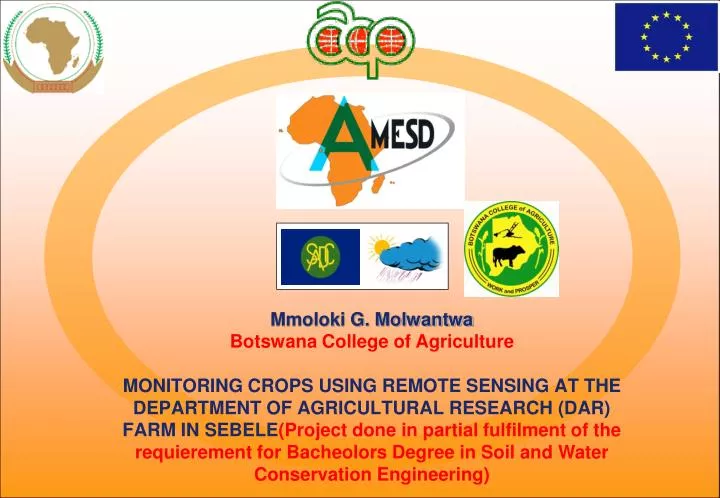
Mmoloki G. Molwantwa Botswana College of Agriculture MONITORING CROPS USING REMOTE SENSING AT THE DEPARTMENT OF AGRICULTURAL RESEARCH (DAR) FARM IN SEBELE ( Project done in partial fulfilment of the requierement for Bacheolors Degree in Soil and Water Conservation Engineering).

E N D
Mmoloki G. Molwantwa Botswana College of Agriculture MONITORING CROPS USING REMOTE SENSING AT THE DEPARTMENT OF AGRICULTURAL RESEARCH (DAR) FARM IN SEBELE(Project done in partial fulfilment of the requierement for Bacheolors Degree in Soil and Water Conservation Engineering)
Table of Contents Presentation • Introduction • Need for Study • Aims and Objectives • Methodology • Results • Conclusion • Recommendations
Introduction • The issue of monitoring crop performance and pasture is one of the major challenges facing the agricultural sector in Botswana. • Monitoring is done by taking measurements manually from fields. • Monitoring of pasture is done so that farmers may know when and how much cattle to sell to BMC. • Monitoring is also done for harvest predictions.
Need for the study • In Botswana monitoring of crops using remote sensing is not done at a satisfactory level. • Remote sensing offers timeliness of information to farmers. • Remote sensing offers coverage of large areas in a short time.
Aims and Objectives • The aim of this study was to use remote sensing products(NDVI and Rainfall) to monitor crops at the Department of Agriculture Research Content Farm in Sebele. • Also to appreciate the use of remote sensing applications as a student.
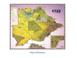
Methodology • Study Area (Sebele DAR Farm, Gaborone Botswana)
Methodology cont`d • Data requirements • Rainfall products The rainfall product was derived from FEWSNET Rainfall Estimation (RFE) dekadal imagery. • Also in situ rainfall from the DAR met station • Vegetation product The vegetation product used is the SPOT-Vegetation NDVI at 1km spatial resolution. The data is obtained from the estation at BCA.
Methodology cont`d • Yield data The yield data was obtained from the DAR archive. This was record of yield from the 2008-09 cropping season up to the 2011-2012 cropping season. • Shape file The shape file of the field was obtained from the Department of Mapping and Surveys.
Methodology cont`d • Shape file and NDVI Overlay
Methodology cont`d • Data analysis Regression model was developed. • Long term average (LTA_NDVI) versus long term average RFEs for the years 2008-2010 • Microsoft excel was used whereby the rainfall was an independent variable and NDVI a dependent variable.
Methodology cont`d An example of one of how remote sensing processes were performed Shape file(vector) Shape file(raster) rasterize Long tern average(2008-2010) NDVI raster maps for DAR Farm NDVI(Raster) Cross aggregate Raster Map of long term average NDVI
Results cont`d November 7 2011 dekadal 30 November 13 2011 dekadal 31
Results cont`d December 15 2011 dekadal 34 December 20 2011 dekadal 35
Conclusion • The aim of this project was to monitor agriculture in DAR farm using remote sensing products. From the results it shows that monitoring has been achieved as rainfall estimates and NDVI can be used to make inferences about crop performance.
Recommendations • The commercial farms particularly those that produce large crop outputs and with large areas of land(>1km2) should adopt the use of remote sensing products to monitor crops in Botswana. • Train manpower on the use of Remote Sensing products • Allow for easy access to remote sensing data
The END Thank You.