Download
1 / 19
190 likes | 297 Views
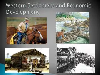
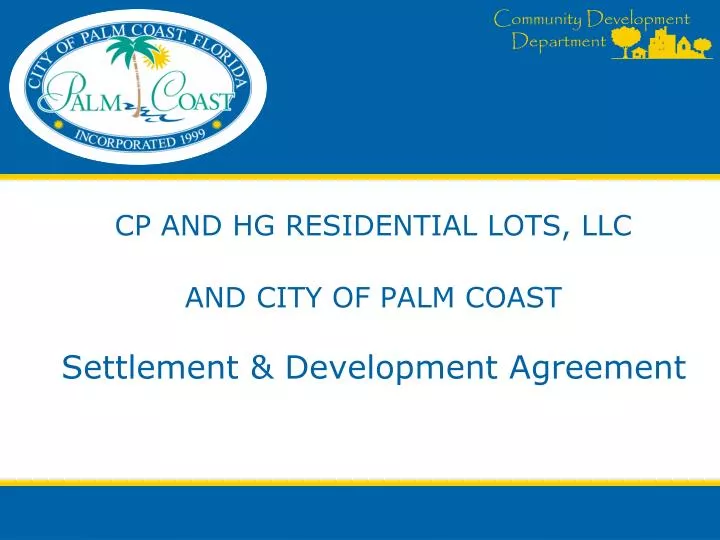
CP AND HG RESIDENTIAL LOTS, LLC AND CITY OF PALM COAST Settlement & Development Agreement. LOCATION/AERIAL MAP. ERIC DRIVE. EASTHAMPTON BLVD. EBB TIDE DRIVE. EGAN DRIVE. EGRET TRAIL. ISSUE. 2004 City adopts Greenbelt designation for ICI property

E N D
CP AND HG RESIDENTIAL LOTS, LLCAND CITY OF PALM COASTSettlement & Development Agreement
LOCATION/AERIAL MAP ERIC DRIVE EASTHAMPTON BLVD. EBB TIDE DRIVE EGAN DRIVE EGRET TRAIL
ISSUE • 2004 City adopts Greenbelt designation for ICI property • ICI files Administrative Challenge with Department of Community Affairs (DCA) • In lieu of litigation, parties agree to negotiations • Proposed plan is part of a proposed negotiated settlement • Settlement provides for a master development plan for site
CP AND HG RESIDENTIAL LOTS, LLCAND CITY OF PALM COASTMASTER PLANNED DEVELOPMENTApplication #2382
FUTURE LAND USE MAP Greenbelt
ZONING MAP PROPOSED EXISITNG Public/Semipublic MPD Estate-2
OWNERSHIP MAP City 14+/- ac. CP and HG Lots, LLC 29+/- acres
DEVELOPMENT AGREEMENT HI-LITES PERMITTED USES: 1. Single Family Residential MINIMUM PERMITTED LOT SIZE: 6,600 sq. ft. MAXIMUM NUMBER OF LOTS: 60 2. OPEN SPACE: Owner: No recreational facility is planned or required by the City within the residential area. City: Property to remain as open space. At the sole and exclusive expense of the Owner, improvements to the City owned property shall be limited to the construction of stormwater facilities, as deemed necessary. EXCHANGE OF PROPERTY:(Prior to preliminary plat application submittal) Owner: Shall exchange 22 +/- acres of the 29+/- acres to the City. City: Shall exchange 14+/-acres of City property to Owner.
DEVELOPMENT AGREEMENT HI-LITES OFF-SITE IMPROVEMENTS Prior to preliminary plat application submittal Developer shall contribute a sum of $90,000 to the City for the purpose of accomplishing the following community improvements. • Sidewalk – Construction of sidewalk extension along the north side of Easthampton Blvd., ten (10) feet in width, extending from the southerly corner of Eric Drive to Egret Trail. • Right Turn Lane - Construction of a right turn lane at the intersection of Belle Terre Parkway and Easthampton Blvd. . • Monument Sign – Replace existing Cypress Knoll neighborhood identification sign situated at the intersection of Belle Terre Parkway and Easthampton Blvd. with updated City neighborhood prototype neighborhood identification sign.
LAND EXCHANGE Pre Land Exchange Post Land Exchange City: 14+/- ac. CP and HG Residential Lots, LLC . 21+/- ac Property Line Property Line City 22 ac. CP and HG Residential Lots, LLC: 29+/- ac.
DEVELOPMENT PLAN GOALS • Assure compatibility with surrounding land uses. • Promote orderly and befitting residential development and growth. • Promote and maintain continuity of open space. • Sustain the integrity of the property’s wetland resources.
PLAN GUIDELINES: COMPREHENSIVE PLAN COMPLIANCE HIGHLITES CHAPTER 1: FUTURE LAND USE ELEMENT GOAL 1.1 Preserve the character of residential communities, prevent urban sprawl and protect open space and environmental resources Objective 1.1.4 - Discourage Urban Sprawl Promote compact and contiguous development, a mixture of land uses, and discourage urban sprawl. GOAL 1.2: QUALITY OF LIFE Maintain the community’s quality of life through preservation and enhancement of environmental and community resources. Policy 1.2.1.10 - Impacts to low quality, isolated wetland systems shall be permitted only if it can be demonstrated that this will promote infill development, discourage urban sprawl, and improve or enhance the City’s overall wetland function. Mitigation requirements at a minimum shall be consistent with State Law. CHAPTER 6: CONSERVATION AND COASTAL MANAGEMENT ELEMENT The purpose of the Conservation and Coastal Management Element is to provide the framework for the protection, preservation, and enhancement of the City’s natural communities and resources. GOAL 6.1 - Protection of Natural Resources Protect, conserve, enhance, appropriately manage, and maintain or improve the quality of natural resources and environmental systems thereby contributing to the high quality of life and economic well being of the City. Objective 6.1.10 - Preservation of Native Vegetative Communities Promote and encourage preservation and long-term maintenance of native vegetative communities, wildlife habitat, and environmentally sensitive lands.
PERIMETER BUFFER SUMMARY EBB TIDE DRIVE Utility Easement 20 ft Building Line Drainage Easement 35 ft. Property Line Lot Line Property Line Building Line Buffer 25 ft Residences limited to 1 story along westerly perimeter ERIC DRIVE Drainage Easement = 35 ft. Buffer Area = 25 ft. Total Undisturbed Area = 60 ft. Min. Residence to Residence = 90 ft. EBB TIDE DRIVE Buffer Area = 25 ft. Min. Residence to Residence = 35 ft.
CONCEPTUAL MASTER SITE PLAN Property Line
MASTER SITE PLAN RENDERING 21/60 – 7,000 sq. ft. or larger
Residential Dimensional Standards CYPRESS KNOLL RESIDENTIAL ZONING: SAMPLING Area No. 1 - Lots – 401 SFR-2 Zoning…. 330 = 82% Area No. 2 - Lots – 320 SFR-2 Zoning…. 231 = 72%
Minimum Lot Size: Plot Plan Example 60’ Front Setback Minimum Lot Size: 60’ x 110’ 6,600 sq. ft. 20 ft. 5 ft. 5 ft. Living Area Side Setback Non-Living Area Total Residence area: 3,312 sq. ft. Total Living Area: 2,512 sq. ft. Driveway Property Line Rear Setback Bldg. Envelope 110’ 10 ft. 60’
RECOMMENDATION Planning and Land Development Regulation Board recommend to City Council approval of Application #2382 – rezone of parcel number 07-11-31-7034-AT2-0010 and 07-11-31-AT2-0000 from Estate -2 and Public/ Semi-Public to Master Planned Development.