Download
1 / 81
840 likes | 1.03k Views
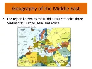
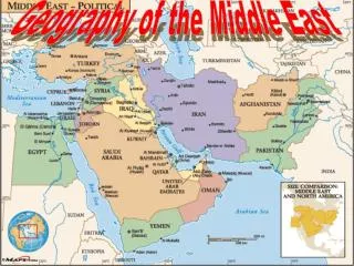
The Geography of the Middle East. Mountains and Plateaus. Mountains & Plateaus. Caucasus Mts. Elburz Mts. Anatolian Plateau. Iranian Plateau. Taurus Mts. . Zagros Mts. Atlas Mts . Hejaz Mts. Physical Geography of Northern Africa & Southwest Asia. Mountains

E N D
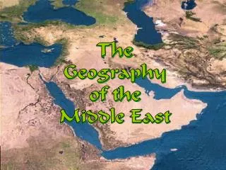
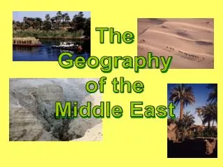
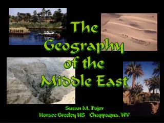
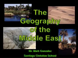
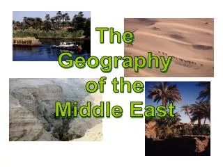
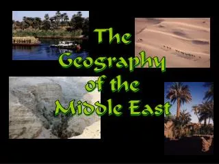
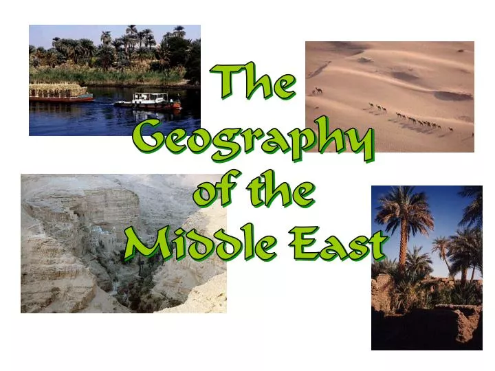
The Geography of the Middle East
Mountains & Plateaus Caucasus Mts. Elburz Mts. AnatolianPlateau Iranian Plateau Taurus Mts. Zagros Mts. Atlas Mts. Hejaz Mts.
Physical Geography of Northern Africa & Southwest Asia • Mountains • Atlas Mountains in Northern Algeria and Morocco • ThorusMtsin Southern Turkey • Elburz & Zagros Mts. In Iran • Golan Heights in Israel
Physical Geography • Plateaus - Anatolian Highland • Peninsulas - Saudi Arabian, Suez
Sinai Peninsula located between Egypt and the Arabian Peninsula
Asia Minor and Cyprus: • Pontic Mountains north of North Anatolian Transform Fault • Slippage and earthquakes (August 1999) • Taurus Mountains on southern side of Asia Minor
Iranian Plateau and Ranges: • Compression, subduction between Arabian plate and Iranian sub-plate • Creation of Zagros Mountains • Makran Range farther SE as uplifted crust • Up folding of Elburz Mountains and Kopet Mountains between Iranian sub-plate and Eurasian plate • Connected tectonic activity and volcanoes
Atlas Mountains • The Atlas Mountains of North Africa, the physiographic base of the settled Maghreb (Algeria, Morocco and Tunisia), are also a part of the Alpine System. • The Atlas Mountains receive an average rainfall of 750 mm (30 inches), something unusual for this region. • The role of altitude is clear. • Even 240 km (150 miles) into the interior, the slopes of the Atlas receive more than 250 mm (10 inches) of rainfall.
Atlas Mountains Continued • Separates the northern moist Mediterranean climate from the arid south.
Middle East Mountains • Taurus • Spreads across Turkey • Runs east-west along the northern edge of Turkey • Highest Point- Mt. Ararat-16, 583 ft., Biblical historians believe Noah’s Ark landed here. • Zagros • Extends through southwestern Iran, and through northern Iraq • Highest point- ZardKuh, 14, 921 ft.
Mountain Ranges in Mid-East Elburz Mts., Iran Zagros Mts., Iran Lebanese Mts. Taurus Mts., Turkey
Taurus Mountains Anti-Taurus Mountains Elburz Mountains PonticMounatins
Anatolian Plateau • Fertile soil • Conducive (helpful) for farming
Iranian Plateau • Very dry • Sparsely populated
Deserts NegevDesert SinaiDesert Libyan Desert ArabianDesert Rubal-Khali Sahara Desert
Physical Geography of Northern Africa & Southwest Asia • Deserts • The Sahara Desert • The Saudi Arabian Desert • The Libyan Desert • Negev Desert
Sandy Deserts • Rub al-Khali—Arabian Peninsuladesert, known as the Empty Quarter • 250,000 square miles, with dunes as high as 800 feet • 10 years can pass without rain • Nearby An-Nafud Desert contains the occasional oasis -desert area where underground spring water supports vegetation • Syrian Desert is between Lebanon, Israel, Syria, and the Fertile Crescent • Israel’s Negev Desert produces crops through irrigation
Two ways of life—nomadic and sedentary—developed in the desert. • Nomadic life- people moved from place to place within tribes for protection, and as the seasons changed. • Sedentary- people settled in oases, where they could farm. These settlements often became towns. • Towns became centers of trade. Many had a souk, a market or bazaar, where goods were traded.
Nomadic Life: Bedouins • Many people in North Africa and the Middle East still live a nomadic lifestyle. Nomads live on the Arabian Peninsula and in the Sahara Desert. • The deserts have also led to a way of life that developed around the need to survive in such harsh surroundings. • These people are known as “Bedouins” or desert nomads • They survive and make a living by • Living in tent camps • Surviving as sheep and camel herders • Trading animals and handmade goods
Rub Al-Khali • Size of Texas • One of largest sandy deserts in world • It is the largest area of continuous sand in the world. • Surface temps, can reach 150° • Very Arid • 10 years may pass w/out rain • No permanent streams exist
The Rub 'al-Khali, or "Empty Quarter" is a large desert in Saudi Arabia. It is the largest area of continuous sand in the world. • The climate is extremely arid. Few places • receive more than 7 inches of rain a year, and no permanent streams exist. Summer • temperatures reach as high as 130°F in some areas.
Arabian Peninsula • Saudi Arabia, Kuwait, Bahrain, Qatar, United Arab Emirates (UAE), Oman, Yemen • Small population • Lack of water BUT lots and lots of oil!!! • Birthplace of Islam • Very dry, sandy, & windy • Wadis- riverbeds that remain dry except for the rainy season.
The Arabian Peninsula is primarily steep and has a desert climate
Salt Deserts • In Iran, high mountains block rain; dry winds increase evaporation • Loss of moisture in soil leaves chemical salts, creates a salt flat (a flat expanse of land covered in salt and other minerals; usually shines white under the sun) • Iran’s salt flat deserts: • Dasht-e Kavir in central Iran • Dasht-e Lut in eastern Iran • Land is salt-crusted, surrounded by salt marshes, it’s very hot • Almost uninhabited, it’s a barrier to easy travel across Iran
The Sahara • The Sahara is the world’s largest desert, stretching 3.5 million square miles. • Very dry, so very few people live there • Averages less than five inches of rain each year. • Temperatures there can run to the extreme • freezing at night • Can be more than 130 degrees Fahrenheit at the peak of day. • Nearly every settlement in the Sahara is located near an oasis, a wet and fertile area in a desert where a spring or well provides water. • Common features in the Sahara include broad gravel plains, tall sand dunes, and dry streambeds.
Sahara Desert Location • Atlantic Ocean on the west • Atlas Mountains and the Mediterranean Sea on the north • Red Sea and Egypt on the east • Sudan and the valley of the Niger River on the south.
Swarms of Desert Locusts! Israel Hit By Worst Locust Plague Since the 1950s! Locusts Swarm the Pyramids Complex at Giza!
Sahel: - Area separating the Sahara from the tropical rainforest of Africa.
Completed Map Caucasus Mts. Black Sea Caspian Sea Dardanelles Strait AnatolianPlateau Elburz Mts. AtlanticOcean Mediterranean Sea TigrisRiver EuphratesRiver Iranian Plateau Taurus Mts. Jordan River Zagros Mts. Atlas Mts. NegevDesert SinaiDesert Suez Canal Strait ofHormuz ArabianDesert Persian Gulf Libyan Desert Nile River Gulf ofOman Rubal-Khali Red Sea Hejaz Mts. Sahara Desert ArabianSea Gulf of Aden IndianOcean
Major Resources of the Middle East • Petroleum • Water • Cotton • Natural Gas • Coal • Iron
Oil • Oil is certainly the most important resource of North Africa and Southwest Asia. • Deposits are concentrated around the Persian Gulf. It is the most economically important export of the realm. • Between 1994-1996, on average, these countries together produced 28.0 percent of the world’s total output. • Saudi Arabia ranked as the world’s leading producer with 13.1 percent followed by: Iran with 5.8 percent; the United Arab Emirates with 3.6 percent; Kuwait with 3.3 percent; and Libya with 2.2 percent (Table 6.2). • Additional detailed statistics on the world’s leading oil countries are shown in Table 6.3. • In 1997, the world estimates in petroleum reserves were 1,160,069,500,000,000 barrels. • These countries collectively account for 56.3 percent of the world's total reserves. Saudi Arabia has 22.6 percent, Iraq 9.7 percent, Kuwait 8.2 percent, Iran 7.8 percent, U.A.E. 5.5 percent, and Libya 2.5 percent.