Download
1 / 13
130 likes | 221 Views
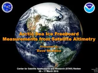
Arctic Sea Ice Freeboard Measurements from Satellite Altimetry. Presented by Dave McAdoo. Objective, Science, and Benefit. Objective/Requirement - Strategic Goal: Climate Variability and Change Precise monitoring of sea ice thickness and volume

E N D
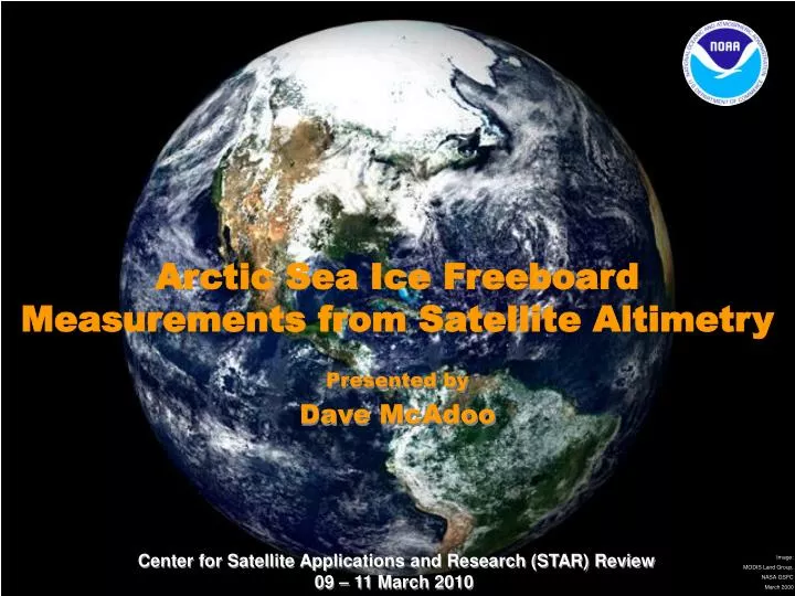
Arctic Sea Ice Freeboard Measurements from Satellite Altimetry Presented by Dave McAdoo
Objective, Science, and Benefit • Objective/Requirement • -Strategic Goal: Climate Variability and Change • Precise monitoring of sea ice thickness and volume • [Sea ice is a key component of the polar climate system] • Science • Accurate tracking of sea ice freeboard/thickness change (to 10 cm) using • satellte altimetry (radar & laser). Will loss of Arctic sea ice • continue? At what rate? With what role in climate system.? • Benefits • - New, refined sea ice volume constraints on climate models • - Near real time tracking of thick, multi-year sea ice in support • of NSPD-66 and NOAA Safe Transportation Goal, e.g., safe • and reliable maritime navigation in the Arctic. • - Benefits for oceanography and marine geophysics 2
Motivation: Diminishing Arctic Sea Ice Extent From passive microwave satellite data Sep 2007: Minimum Sea Ice Extent for 30 yrs NSIDC Sep Anomalies 1979-2009 Projected Sep Ice Extent (5-model Average) 2010-2030 2040-2060 2070-2090 Total: 4.3 million sq. km ACIA 3
Principle of Satellite Altimetry Measuring the third / vertical dimension Measuring Surface Elevation (h): R = ct / 2 R = range measured by satellite altimeter c = speed of light t = round-trip travel time h = H – R h = sea surface heightrelative to reference ellipsoid H = satellite altitude above reference ellipsoid 4
Satellite Altimetry (laser and radar) over Sea Ice . . RADAR LASER RADAR LASER Snow Thickness SNOW Ice Freeboard SEA ICE Sea Ice Thickness WATER Altimeters provide basin-scale freeboard and sea surface height data over the Arctic Ocean 5
Ice - Open Water Discrimination: Detecting Leads Satellite Laser Altimetry (ICESat) Leads Ice Floes Highly specular reflections from leads Difficult to distinguish leads from ice floes Several methods for determining SSH (e.g. Kwok et al. 2007; Zwally et al., 2008 ; Farrell et al., 2009) . . Satellite Radar Altimetry (Envisat & ERS) Specular Echo (Leads) Diffuse Echo (Ice Floes) Provides unambiguous detections of leads for sea surface height measurements Large footprint means returns from “mixed” surfaces (distorted echoes) have to be discarded (e.g. Peacock & Laxon, 2004) 6
Change in Arctic Sea Ice Freeboard from ICESat: 2003 – 2008 Fall (Oct-Nov) Winter (Feb-Mar) 2003 2008 2003 2008 Seasonal mean removed to create anomaly 7
Validating Satellite Altimeter Data over Sea Ice • In-situ measurements on ice • Airborne surveys above ice • NOAA Validation Experiments • (all joint with NASA; airborne & in situ) • LaRA–FASIT (2002) Fram Strait • AAA (2006) - Beaufort Sea • Canada Basin Sea Ice Thickness • (CBSIT, April 2009) • BESIE (2011) 8
CBSIT Experiment: April 2009 . . Component of NASA’s Operation Ice Bridge • Envisat Under-flight • April 21 2009 • Canada Basin • Near 2006 survey line • Thick MY ice to FY ice • Ice Camp Over-flight • April 25 2009 • GreenArc Ice Camp • Thick, Old MY ice • Nares Strait 9
GreenArc Ice Camp Over-flight (CBSIT, 2009) . . • In Situ Measurements: • EM-31 Ice thickness profiling • Snow depth • Snow pits • Drill holes for calibrations Courtesy J. Yungel, NASA 10
Challenges and Path Forward Overall Science Challenge Deriving precise (to ~3-5 cm), detailed (to ~ 10 km) sea ice freeboard and thickness estimates from complex satellite altimeter data Specific tasks • Complete & publish analyses of CBSIT (2009) data sets • Preparations for BESIE 2011 - Beaufort Sea Ice Camp • Advisors to NASA’s OIB Airborne Campaigns taking place yearly in the Antarctic and Arctic • Prepare for CryoSat-2 repare for CryoSat-2 (as ESA Data AO and Cal-val investigators) and processing the complex returns from its advanced altimeter for ice freeboard • Prepare for ICESat-2, follow-on to ICESat-1, as members of the Science Definition Team 11
Arctic Airborne Altimetry AAA: 2006 Envisat and ICESat Validation over Sea Ice Along Envisat/RA-2 track - AB AAA Experiment flight path in the Canada Basin Std dev = 0.08m Envisat vs ATM Lead elevs (using lead detection algorithm) From Connor et al., RSE, 2009 13