
Enhancing Water Management: Open Mapping App
E N D
Presentation Transcript
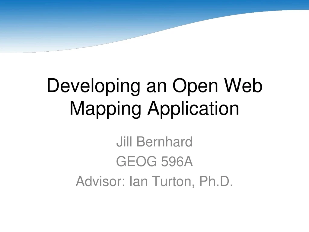
Developing an Open Web Mapping Application Jill Bernhard GEOG 596A Advisor: Ian Turton, Ph.D.
Project Proposal • Background • Goals and Objectives • Proposed Methodology • Project Timeline • Anticipated Results
Background:Santa Clara Valley Water District • Santa Clara County: fourth largest population in the state (Los Angeles, San Diego, Orange). • What does the District do? • Clean, reliable drinking water. • Flood protection. • Healthy creeks and ecosystems.
Background:Current Data Distribution Interface http://www.valleywater.org/services/GIS.aspx
Background:Web-Based Application GIS Database Map Server Client
Background:ESRI Software Solutions • A large investment has been made in ESRI software, including ArcIMS and ArcGIS Server. • Technical issues with the new technology (ArcGIS Server) have prevented putting applications into production. • Shrinking budgets may soon force a reduction in the amount we spend of software licenses.
Background:Commercial Services • Examples: Google Maps, Yahoo! Maps. • Familiar to most people. • Easy-to-use. • Free (under certain conditions). • Little warning about changes.
Background:Open Standards and Software Defined • Open Standards (Bruce Perens) • Availability • Maximize End-User Choice • No Royalty • No Discrimination • Extension or Subset • Predatory Practices • Open Software • Source code available.
Background:Open Geospatial Consortium (OGC) Standards • Geography Markup Language (GML) • Keyhole Markup Language (KML) • Styled Layer Descriptor (SLD) • Web Map Service (WMS) • Web Feature Service (WFS)
Background:Open Standards and Software Advantages • Many free options available. • Often easy to implement. • Slow to change.
Background:Open Standards and Software Disadvantages • Negative perception. • “No such thing as a free lunch.” • “You get what you pay for.”
Goals and Objectives • Data Standardization • Geo-Web: "a distributed network of interconnected geographic information sources and processing services" (Lake, Burggraf, Trninic, & Rae, 2004). • Review the viability of Open Standards and Software
Proposed Methodology:Database • PostgreSQL (http://www.postgresql.org) • PostGIS (http://postgis.refractions.net)
Proposed Methodology:Server • GeoServer (http://geoserver.org) • Java Development Kit (http://java.sun.com) • Apache Tomcat (http://tomcat.apache.org)
Proposed Methodology:Services • Web Map Service (WMS) • Web Feature Service (WFS)
Proposed Methodology:Clients • OpenLayers (http://openlayers.org) • uDig (http://udig.refractions.net)
Project Timeline • Weeks 1-2: Install and Troubleshoot Software • Weeks 3-4: Load Data into Database • Weeks 5-6: Enable WFS functionality • Weeks 7-8: Troubleshoot Application • Weeks 9-10: Install on Production Server
Anticipated Results • Data Availability and Accessibility • Data Viewer using Open Software and Standards • Better Understanding of the Viability of Open Software
References • Lake, R., Burggraf, D., Trninic, M., & Rae, L. (2004). Geography Mark-Up Language: Foundation for the Geo-Web. London: Wiley. • Perens, Bruce. Open Standards: Principles and Practice. Retrieved on April 23, 2010 from http://perens.com/OpenStandards/Definition.html. • Turton, Ian. (2008). GEOG 585 – Open Web Mapping. Retrieved on April 23, 2010 from https://www.e-education.psu.edu/geog585.