Download
1 / 23
230 likes | 250 Views
Explore ESLC’s Coastal Resilience Program, climate projections, adaptation efforts, and the urgent need for preparedness in facing climate challenges in rural communities around the Chesapeake Bay area.

E N D
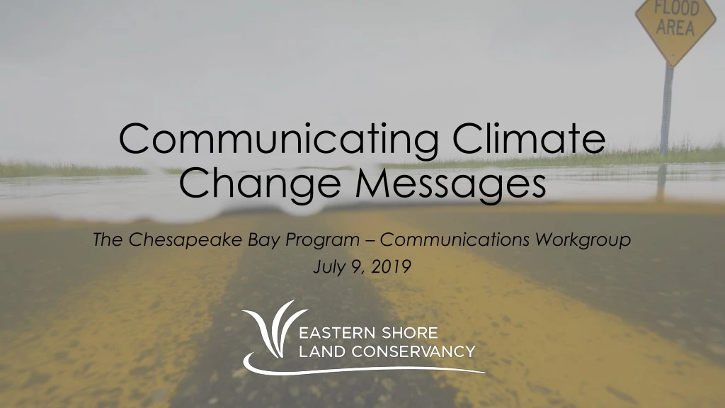
Communicating Climate Change Messages The Chesapeake Bay Program – Communications Workgroup July 9, 2019
What We’ll Cover • ESLC’s Coastal Resilience Program • Climate Projections & Impacts • Planning, Adaptation, and Mitigation Efforts • Communications Challenges and Success
ESLC – Coastal Resilience Program • Provide assistance and resources to communities for mainstreaming climate preparedness • Hazard mitigation plans (Queen Anne’s, Talbot, Dorchester) • Participatory vulnerability assessments (St. Michaels, Kent, & multi-jurisdiction) • Increase regional capacity for adaptation • Eastern Shore Climate Adaptation Partnership • Raise the visibility of rural communities and need for assistance and resources
Definition of Resilience As one of the country's most vulnerable landscapes to flooding, erosion, and sea level rise, the Eastern Shore can become a national model for coastal resilience in rural communities. A resilient Eastern Shore will be prepared for immediate and long-term coastal hazards and able to survive, adapt, and prosperin the face of uncertainty and vulnerability.
ESCAP Overview “Promotes learning and collaboration among Eastern Shore communities to prepare for changes in weather patterns, flooding, and other environmental conditions.” “A venue for partners to provide support, education, technical assistance, and resources to help communities build resilience.” • 6 counties & 3 municipalities • 3 state agencies • 4 academic institutions • 3 nonprofit organizations • Emergency management, planning, health, public works, administration
Eastern Shore Climate Projections Precipitation +10-20% annual precipitation Sea Level Rise +1.5-2.0 feet by 2050 +5-6 feet by 2100 Temperature +4-8 F Warmer nights Longer heat waves Heat-related health emergencies Vector-borne diseases Stress on HVAC & building systems Wear on roadways Heavier downpours Wetter winter/spring Drier summers Degraded performance of stormwater infrastructure Faster erosion rates Chronic coastal flooding More damaging storm surges Increased emergency response times Disruption of public services Boesch et al. 2018. Sea Level Rise Projections for Maryland 2018. University of Maryland Center for Environmental Science. Boesch et al. 2008. Global Warming and the Free State: Comprehensive Assessment of Climate Change Impacts in Maryland. Maryland Climate Change Commission.
Mainstreaming Sea Level Rise Preparedness in Local Planning & Policy on Maryland’s Eastern Shore Problem: • Local planners, emergency managers, and engineers all want their communities to be more prepared and resilient. However, the resources and staff time that are required are often diverted to more pressing local issues. Hypothesis: • If we lower barriers by providing analyses, tools, products, and additional effort, then communities will begin to embrace adaptation and resilience planning. Goal: • Assist communities in integrating sea level rise considerations into floodplain management and capital investment planning. Geography: • Caroline, Cecil, Dorchester, Queen Anne’s, & Talbot counties (Kent mapping completed in 2016)
Sea Level Rise Preparedness High-resolution GIS data for 5 counties • Sea level rise and storm flooding scenarios for present-day, 2050, and 2100 • Damage estimates for all buildings in dollars and aggregated date by sector • Key messages by jurisdiction and for region Implementation guidance • Strengthening floodplain management ordinance and practices • Integrating science into capital investment planning
Key Messages: Regional • The window of opportunity to make policy adjustments that adapt communities to sea level rise is still open in most of the region… • Only 63 buildings are expected to be constantly wet by 2050, but that excludes Dorchester, which will have 790 wet buildings. • …but the window is closing fast. • Today, a 1% chance storm impacts $1.2B in property/contents values and causes $30M in damage. • In 2050, that same storm affects $2.8B of property value and causes $178M in damage (2016 dollars). • A tropical storm in 2100 causing damage comparable to Hurricane Isabel will fundamentally change the landscape of the Eastern Shore if we are not prepared by then. • More than 15% of buildings will be impacted, worth $5.8B, with expected damages of $751M.
Key Messages: Cecil • The narrowing and shallowing that occurs in the northern Chesapeake Bay creates high vulnerability to coastal flooding. • The window of opportunity is considerably wider in Cecil County than lower on the Eastern Shore.
Key Messages: Queen Anne’s • Development pressure has the county on an edge, with damage exposure jumping starkly as storm severity increases • A 0.2% chance event has 5 times the impact on property as a 1% chance storm • The impact of future flood events will be felt more heavily by the commercial sector than in other counties due to commercial development patterns.
Key Messages: Caroline • Because land values in Caroline have been historically less than in neighboring counties, there will likely be increased development pressure in the coming decades • Both a potential threat and an opportunity to build right the first time
Key Messages: Talbot • Topography and past floodplain management practices built a margin of safety into the building stock. • Only 39 buildings are impacted by sea level rise in 2050 • However, once the margin of safety is breached, the results are the worst in the region. • Nearly 30% of all buildings in Talbot could be impacted by a 1% chance event in 2100
Key Messages: Dorchester • This study does little to challenge the notion of Dorchester being the “Most Vulnerable to Flooding on the Eastern Seaboard” • The future impact of SLR is lower than in other counties due to the extreme significance of current potential for harm from flooding • Right now, almost 17% of the buildings in the county are threatened by a 1% chance event. In 2050, that “only” rises to 22.6% • The damage does increase significantly though, from $11M to $66M
Extreme Precipitation Modeling for Eastern Shore Communities Similar methodology to 2018 sea level rise report Downscaled precipitation modeling for the Eastern Shore • Several decades past • Projections for several decades into the future Inform local governments in planning for: • New construction • Stormwater systems • Evacuation routes • Green infrastructure
Communications Success Talk to everyone No prologue – no blaming Use the language of the audience No B.S.
Communications Challenges Politics – national, state, local Lack of receptivity Lack of funding Tailoring publications to address many audiences
Closing Thoughts “You can’t stop what’s coming. It ain’t all waiting on you. That’s vanity.” -Cormac McCarthy Challenges vs. opportunities – messaging is key Resilience Matters newsletter: sign up at www.eslc.org
Jim Bass Coastal Resilience Program Manager Jbass@eslc.org (410) 690-4603 x156