Download
1 / 10
100 likes | 116 Views
Obtain and analyze various types of geospatial data including satellite images, soil statistics, land cover, and more. We offer data in multiple formats like SQL databases, KMZ files, and images created with MATLAB. Enhance your research with detailed information on chlorophyll concentration, aerosol levels, ocean productivity, and more.

E N D
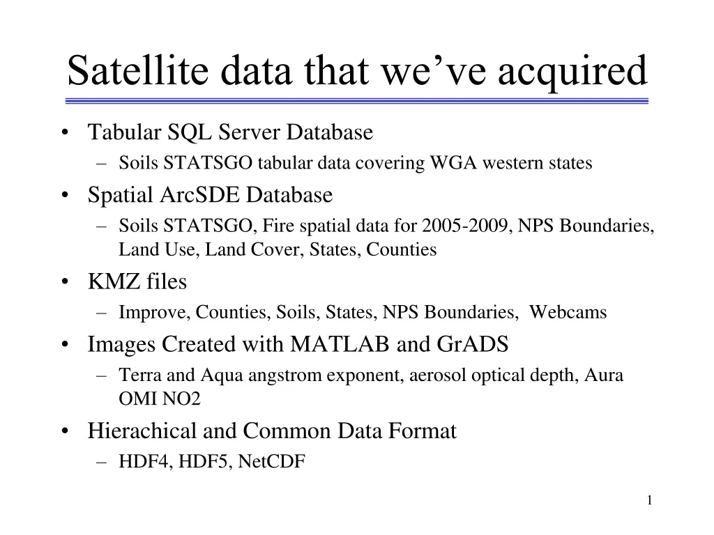
Satellite data that we’ve acquired • Tabular SQL Server Database • Soils STATSGO tabular data covering WGA western states • Spatial ArcSDE Database • Soils STATSGO, Fire spatial data for 2005-2009, NPS Boundaries, Land Use, Land Cover, States, Counties • KMZ files • Improve, Counties, Soils, States, NPS Boundaries, Webcams • Images Created with MATLAB and GrADS • Terra and Aqua angstrom exponent, aerosol optical depth, Aura OMI NO2 • Hierachical and Common Data Format • HDF4, HDF5, NetCDF
MODIS – What we have acquired MOD 20 - Chlorophyll Fluorescence MOD 21 - Chlorophyll_a Pigment Concentration MOD 22 - Photosynthetically Available Radiation (PAR) MOD 23 - Suspended-Solids Concentration MOD 24 - Organic Matter Concentration MOD 25 - Coccolith Concentration MOD 26 - Ocean Water Attenuation Coefficient MOD 27 - Ocean Primary Productivity MOD 28 - Sea Surface Temperature MOD 29 - Sea Ice Cover MOD 31 - Phycoerythrin Concentration MOD 32 - Processing Framework and Match-up Database MOD 35 - Cloud Mask MOD 36 - Total Absorption Coefficient MOD 37 - Ocean Aerosol Properties MOD 39 - Clean Water Epsilon MOD 40 - Gridded Thermal Anomalies MOD 43 - Surface Reflectance BRDF/Albedo Parameter MOD 44 - Vegetation Cover Conversion MOD 01 - Level-1A Radiance Counts MOD 02 - Level-1B Calibrated Geolocation Data Set MOD 03 - Geolocation Data Set MOD 04 - Aerosol Product MOD 05 - Total Precipitable Water MOD 06 - Cloud Product MOD 07 - Atmospheric Profiles MOD 08 - Gridded Atmospheric Product MOD 09 - Surface Reflectance; Atmospheric Correction Algorithm Products MOD 10 - Snow Cover MOD 11 - Land Surface Temperature and Emissivity MOD 12 - Land Cover/Land Cover Change MOD 13 - Gridded Vegetation Indices (NDVI & EVI) MOD 14 - Thermal Anomalies - Fires and Biomass Burning MOD 15 - Leaf Area Index (LAI) and Fractional Photosynthetically Active Radiation (FPAR) MOD 16 - Evapotranspiration MOD 17 - Vegetation Production, Net Primary Productivity (NPP) MOD 18 - Normalized Water-leaving Radiance MOD 19 - Pigment Concentration


