Download
1 / 14
140 likes | 246 Views
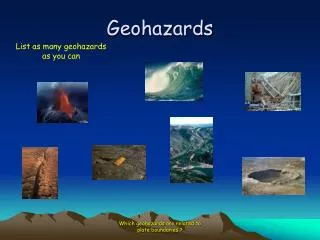
Linking climate change and geohazards. Geohazards?. What’s the short-list of geohazards potentially relevant to my MCCAP? How are they relevant, and are they priorities?. THANK YOU! Garth DeMont , Geoscientist with NS Department of Natural Resources

E N D
Geohazards? What’s the short-list of geohazards potentially relevant to my MCCAP? How are they relevant, and are they priorities? • THANK YOU! • Garth DeMont, Geoscientist with NS Department of Natural Resources • Gavin Kennedy, Hydrogeologist with NS Department of Natural Resources • John Drage, Hydrogeologist with NS Department of Natural Resources
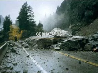
Assessing Geological Hazards Geo-events that pose threats 4 of 30 • coastal flooding & riverine flooding • coastal erosion • land sinking – sinkholes • contamination of water from heavy metals in soil or acid rock drainage • landslides / slope failure . . . to develop a methodology to incorporate geology into the land use planning process Picture from NS DNR Geological Services Division
Assessing Geological Hazards Geohazard—Coastal erosion 4 of 30 The need to establish setbacks should be informed by geology – both bedrock and surficial . . . to develop a methodology to incorporate geology into the land use planning process Coastal erosion risk will increase with sea level rise. Picture from NS DNR Geological Services Division Picture from NS DNR Geological Services Division
Assessing Geological Hazards Geohazard—Karst 4 of 30 • Occurs in • limestone & gypsum • sinkholes • water contamination . . . to develop a methodology to incorporate geology into the land use planning process Under the Nova Scotia Treatment Standard for Municipal Surface Source Water Treatment Facilities, once designated, karst areas are subject to water treatment standards. Picture from NS DNR Geological Services Division Picture from NS DNR Geological Services Division
Assessing Geological Hazards Geohazard—Heavy Metals 4 of 30 • Toenails, Tap Water and You: The Arsenic Connection • NS DNR Report of Activities: 2009 Picture from NS DNR Geological Services Division
Assessing Geological Hazards Geohazard—Heavy Metals 4 of 30 • Toenails, Tap Water and You: The Arsenic Connection • NS DNR Report of Activities: 2009 In unstable climatic conditions where rocks and soils are saturated one week and dry the next there is a higher risk of transport into groundwater systems. Will that be our climate?
Assessing Geological Hazards Geohazard—Acid rock drainage 4 of 30 Pyrite and pyrrhotite oxidize when exposed to air, resulting in production of sulphuric acid and iron oxides. Sulphuric acid is soluble. Picture from NASA Earth Science Division
Assessing Geological Hazards Geohazard—Acid rock drainage 4 of 30 • The amount of water that will fall in a ‘20 year return period’ rainfall (i.e., an event that has a 5% chance of happening any given year) will be: • 5% more rain fall by the 2020s • 9% more rain will fall by 2050s • 16% more rain fall by the 2080s. Picture from NASA Earth Science Division
Assessing Geological Hazards Geohazard—Slope stability 4 of 30 • Slope angle? • What’s beneath our feet? On surface and underlying? • How saturated is it? • How warm is it? • different kind of assessment than coastal erosion • Slope Stability Guidelines for Development Applications Picture from NS DNR Geological Services Division
Assessing Geological Hazards • Understand how climate change can trigger certain hazards • Are any of these hazards present in my jurisdiction? • Where? • Do they impose an intolerable risk? • How urgent is the need to respond?
Anne Warburton awarburton@elementalsustainability.com 902 431 7168 www.elementalsustainability.ca