Download
1 / 10
100 likes | 186 Views
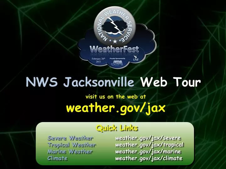
NWS Jacksonville Web Tour. visit us on the web at weather.gov/ jax. Quick Links. Severe Weather weather.gov/ jax /severe Tropical Weather weather.gov/ jax /tropical Marine Weather weather.gov/ jax /marine Climate weather.gov/ jax /climate. NWS Jacksonville Web Tour.

E N D
NWS Jacksonville Web Tour visit us on the web at weather.gov/jax Quick Links Severe Weatherweather.gov/jax/severe Tropical Weatherweather.gov/jax/tropical Marine Weatherweather.gov/jax/marine Climateweather.gov/jax/climate
NWS Jacksonville Web Tour Point-and-Click: Forecasts Straight from the Front Page
NWS Jacksonville Web Tour Marine Weather Page: Dynamic Marine Map powered by Google™ Quick Link weather.gov/jax/marine Area Tide Predictions Click yellow squares for 2-day tides Latest Marine Observations Click green triangles ▲for buoy/C-MAN info
NWS Jacksonville Web Tour Local Climate Page: Daily Climate Summary Table Quick Link Click tabs to change location weather.gov/jax/climate Max/min temperatures & rainfall Additional links Monthly and yearly rainfall totals Links to F6 climate summaries Average maximum/minimum Record max/min with year Links to monthly averages Links to monthly records
NWS Jacksonville Web Tour Local Climate Page: Climate Data for the Past Year Click tabs to change location • Month & year • Click for monthly F6 climate summary • Monthly data • For departure, blue is below normal & red is above normal Links to all-time extremes and narratives Links to monthly normals & extremes
NWS Jacksonville Web Tour Local Climate Page: Additional Features • Climate Calendar • Averages, records, and past 5 years’ climate data • for any day of the year • Monthly & Yearly Climate Graphs • Graphs of temperatures & precipitation
NWS Jacksonville Web Tour Rip Current Page: Area Rip Current Forecast Area maps listing major affected beaches Rip current risk level for the day Threat description and safety tips Rip current safety graphic
NWS Jacksonville Web Tour Severe Weather Page: LiveWatches, Warnings, & Advisories • Icons show valid watch/warning/advisory • Mouse-over icon for valid/expiration times • Click icon for text product Click zone name for list of valid products Updates every minute without refreshing Icon key is located below table Quick link to report severe weather Quick Link Google™ warning polygon map weather.gov/jax/severe
NWS Jacksonville Web Tour Local Tropical Page: Tropical Activity, Storm Names, & Graphics • Tropical Activity Table • Cyclone vital statistics • Links to advisories, satellite pictures, & NHC graphics • Outlook links Quick Link weather.gov/jax/tropical • Storm Names • List of all storm names for current season • Currently active storm names are bold • Linked names point to NHC product archive for storm • Link to NHC archived products from other years • National Hurricane Center Graphics • Cyclone vital statistics • Thumbnails and links to NHC graphics
NWS Jacksonville Web Tour Weekly Hazards At-A-Glance: Quick Overview of Upcoming Events • Choose location by name or latitude/longitude • Hazard criteria can easily be changed • Weekly threats show up as bar on chart