
IES
E N D
Presentation Transcript
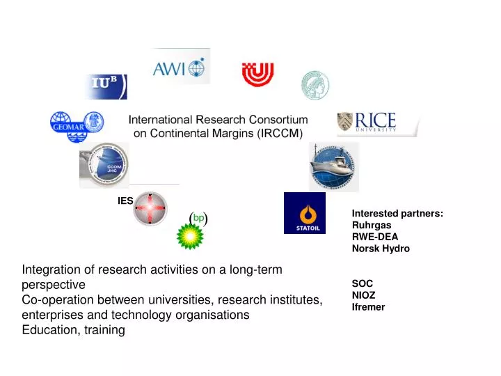
IES ( ) Interested partners: Ruhrgas RWE-DEA Norsk Hydro SOC NIOZ Ifremer Integration of research activities on a long-term perspective Co-operation between universities, research institutes, enterprises and technology organisations Education, training
Research Proposals under Discussion A) Modeling B) Imaging C) Data Management D) Fluid Flow E) Deep Biosphere F) Carbon Cycle G) Gashydrates H) Methane Emission I) Undersea Network
Organogram Surface and subsurface imaging (UB) Fluid flow (Geomar) Methane cycle (MPI) Experimental laboratory (IUB) Data management (AWI) Data analysis And Modeling (IUB)
Modeling Petroleum Systems Modeling allows the realization of dynamic processes such as depositional history, temperature development, maturity, hydrocarbon generation, migration, and accumulation by using geologic data such as stratigraphy, lithology, and time. PetroMod allows an integrated approach of data management, process modeling, and data/result visualization.
IRCCM study sites GLOMARC
The IRCCM StatOil Project Project NEPTUNE: Real-time, Long-term, Ocean and Earth Studies at the Scale of a Tectonic Plate • Tectonic plate scale• Lots of power (100 kW)• Bandwidth (Gbits/sec)• Real-time data return & control• Robust design; high reliability• Available for ~ 30 years Key Characteristics of NEPTUNE
Sponsored by The IRCCM Undersea Networked Observatory and Experiments In situ robotics within long term ocean bottom instrumentation Online control via cable Applications and questions Enhanced 3D visualization of multi parameter dataset Quantification of slow versus fast fluid flow Hydroacoustic studies Fluid, methane flow/ tectonic movement Carbon mineralization rates Lateral export of the carbon Vertical export of methane (ground thruthing of satellite data) MBARI /CCOM Imaging Data Management Fluid Flow Methane Emission CCOM The first stage of the network will consist of 62 km of submarine cable and a single science node located 1,200 meters below the ocean surface. The node will have four separate ports (docking stations) for oceanographic instruments. Each port will support bi-directional data transfers of up to 100 Mbits per second. The cable will also supply up to 10 kilowatts of power to the instruments
The European Sea Floor Observatory Network NEPTUNE is a very important step for the IRCCM for the development of long term underwater observatories in international waters The ESONET schedule is about 5 years behind NEPTUNE Summary The aim of ESONET is to establish the basis for a marine component of GMES (Global Monitoring for Environment and Security) comprising a network of long-term, sea floor, multi-disciplinary observatories at key provinces around the European margin providing continuous vigilance in relation to geophysical, biogeochemical, oceanographic and biological phenomena. ESONET will be focused beyond the continental shelf edge in the ocean margin areas down to 4000m depth which are less well known than the shelf itself and generally beyond the reach of existing ocean data systems. The European Ocean Margin region extends approximately 15,000km from the Arctic Ocean to the Black Sea with an area of ca. 3 million km2 this great submarine terrain is comparable with the total land mass of Europe.
The ESONET Cabled Observatory In situ robotics within long term ocean bottom instrumentation Online control of ROV system via cable Applications Enhanced 3D visualization of multi parameter dataset Slow versus fast fluid flow monitoring Hydroacoustic studies Fluid, methane flow/ tectonic movement and seismic activity Carbon mineralization rates Lateral export of the carbon Vertical export of methane UW The effect of ground shaking, plate deformation on fluid flow must be monitored and quantified in order to develop a predictive understanding of how these processes are linked; especially as many of these may be short in duration and can have disruptive effects. The studies on the volatile fluxes will allow cross-correlation with major and minor earthquake activity, thus giving crucial information about potentially major, non-steady carbon movements and possible desatster prevention. MBARI/CCOM CCOM 10-30 km of submarine cable, instrument located 2000 meters below the ocean surface. The node will have separate ports for oceanographic instruments. Each port will support bi-directional data transfers of up to 100 Mbits per second. The cable will also supply up to 10 kilowatts of power to the instruments