Download
1 / 15
150 likes | 285 Views
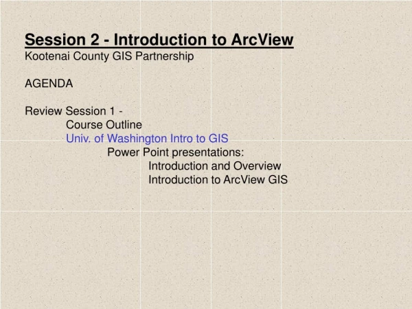
Session 2 - Introduction to ArcView Kootenai County GIS Partnership AGENDA Review Session 1 - Course Outline Univ. of Washington Intro to GIS Power Point presentations: Introduction and Overview Introduction to ArcView GIS. Session 1 Review.

E N D
Session 2 - Introduction to ArcView Kootenai County GIS Partnership AGENDA Review Session 1 - Course Outline Univ. of Washington Intro to GIS Power Point presentations: Introduction and Overview Introduction to ArcView GIS
Session 1 Review Goals and Objectives of these sessions 1. Introduce participants to as many aspects of GIS as we can collectively uncover, using ArcView as a primary tool. 2. Reinforce learned software skills through examples, review, and, yes, repetition. 3. Get participants up and running! Querying data, making maps and preparing presentations. 4. Other lofty goals?
Session 1 Review - cont. Explanation/discussion Course parameters and outline - 15 min+/- for questions/answers/extras from previous session. - 1/2 hr. instruction sessions. - 15 min+/- for questions/answers/extras on current session. - held once or twice per month depending on class participation/interest. - we WILL share class preparation and presentation (we learn alot by teaching!) - don't freak out, volunteers, buddy system, whatever works. - each session, or "chapter" will be prepared/presented in Powerpoint and will be posted on the County FTP site.
Session 1 Review - cont. Using ArcView GIS Displaying Data - Creating Maps - Adding Tabular data about features to maps - Adding street addresses and other locations to maps - Symbolizing your data - Labeling maps with text and graphics - Charting data - Choosing Map Projections - Laying out and printing maps Querying Data - Getting the attributes of features - Finding features with particular attributes - Finding features near other features - Finding features that fall inside other features - Finding features that intersect other features - Working with the features you find - Aggregating your data Creating Data - Creating and editing spatial data - Using a digitizing tablet Additional Info(taught by the Daves) - working with extensions Other books of interest Introduction to ArcView GIS (resource book from 2-day official course) - ArcView Basics - Getting Data into ArcView - Displaying Themes - Working with Tables - Creating and Editing Shapefiles - Querying and analyzing Themes - Geocoding Addresses - Creating Layouts Using Avenue (taught by the Daves) - beginning - intermediate - advanced ESRI - Virtual Campus
Session 1 Review - cont. New source of information - pre-made Power Point Presentations!!! Univ. of Washington Intro to GIS http://lobo.cfr.washington.edu/cfr250/schedule.html Session 1 is (hereby) augmented with the 1st and 3rd UW presentations - Introduction and Overview Introduction to ArcView GIS
Session 2 What is Spatial Data? GIS Database Concepts.pdf Framework Data Components.htm Appendix – Terminology.htm Power Point presentations: Introduction to GIS The National Spatial Data Infrastructure
Session 2 Organization of Data Project Management Presentation KCGIS Partnership directory structure directories based on: Organizational Type Ownership Framework Data Category Data sub-category
Directory Structure - Level 1 Organizational Type Session 2
Directory Structure - Level 2 Organization Ownership Session 2
Directory Structure - Level 3 Framework Data Category Session 2
Directory Structure - Level 4 Data Sub-Category Session 2
Kootenai County FTP site ftp://ftp.co.kootenai.id.us/pub/KCGIS= data and Power Point downloads Gis-dir.zip= Directory structure for KCGIS Partnership (place in GIS Directory and un-zip) Intro2AV directory= Power Point and other presentation info ZIP Utility site =http://www.winzip.com Data sites: http://www.geographynetwork.com/ http://www.idwr.state.id.us/gisdata/gis_data.htm http://inside.uidaho.edu/default.htm http://gis.idl.state.id.us/index.htm http://www.idoc.state.id.us/Data/dtacntr.html ftp://ftp.state.id.us/ http://www.fgdc.gov/clearinghouse/clearinghouse.html http://www.esri.com