Download

1 / 16
160 likes | 501 Views
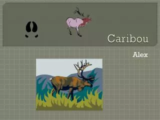
FFT Planning and Caribou Mitigation Openings. ARCgis Online Matt LeRoy, RPB. E-mail Map. PDF Maps. ArcMap. Print Map. PC and File Based Data Management. GIS Professional. ArcMap. ArcGIS Online. Build One Map! . GIS Professional. Utilize a number of ESRI Free Apps.

E N D
FFT Planning and Caribou Mitigation Openings ARCgisOnline Matt LeRoy, RPB
E-mail Map PDF Maps ArcMap Print Map PC and File Based Data Management GIS Professional
ArcMap ArcGIS Online Build One Map! GIS Professional Utilize a number of ESRI Free Apps Smart Phones and Tablets Native Apps from other Software Vendors Embed interactive Maps in Existing Web Pages Create Custom Web Apps for virtually any Browser Embed interactive maps in Windows Software Suites
RPB Gallery • ARCgis Map Viewer online • ARCgis Explorer online • http://rpb.maps.arcgis.com/explorer/?open=d0bc1c57a15a4c40ac0f750cf92d2e6c
Popups – you can configure your own, you could have attachments in popups too, ie. photos You can change the opacity of a given layer You can change outline colours and fill colours You can add bookmark locations You can print maps, measure distances You can add your own shapefiles We can embed a map in a website, easy as pie
You can symbolize as unique symbols You can carry out specific queries
You can add a map service (direct from BCGW) • You can add dashboard stats, to track things like: • Total area by management unit • Total costs by management unit • You can embed maps in presentations • We can create our own apps.... • ipads or iphones?