Download
1 / 17
180 likes | 372 Views
Projections and Coordinate Systems. Prepared by:. John McGee Jennifer McKee. With support from:. Acknowledgements: Barron Orr, AZ Geospatial Extension Specialist Operation On-Target. NSF DUE-0903270. in partnership with:.

E N D
Projections and Coordinate Systems Prepared by: John McGee Jennifer McKee With support from: Acknowledgements: Barron Orr, AZ Geospatial Extension Specialist Operation On-Target NSF DUE-0903270 in partnership with: Geospatial Technician Education Through Virginia’s Community Colleges (GTEVCC)
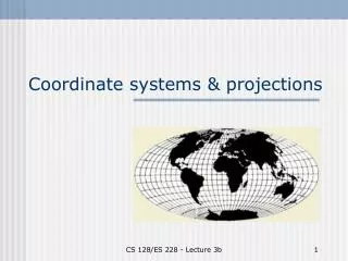
Projections and Coordinate Systems Why do we need to worry about projections? Your “layers” need to “match up” so that they will stack up in the right place (relative to each other)
Projections and Coordinate Systems Different organizations use different coordinate systems and projections If you can understand this (a bit) you will eliminate headaches later on…
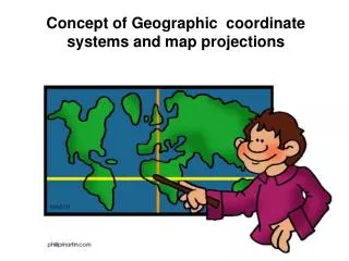
Projections, Spheroids, Datums and Coordinate Systems We are trying to represent a 3-dimensional, roundish, lumpy earth on a flat map We can’t do this unless we project this roundish object onto a flat surface
A Round Planet on a Flat Map? ? Think of peeling an orange and then trying to lay the skin flat on a table – pretty difficult to do!
Projection: Transforming a 3-D planet onto a flat surface
Map Projections • Geographic coordinates • latitude, longitude • degrees, minutes, seconds • spherical, not projected coordinates • Map projection • Process of transforming spatial relationships on earth’s surface (a sphere) onto a flat map
Most Commonly Used Projections In VA Universal Transverse Mercator Projection (UTM): Used by The “Feds” State Plane Coordinate System Projection (SPC): Used by Local Governments
State Plane Coordinate System (SPC) They are most commonly used by local govts. because they represent small areas well. State-Plane Coordinate systems are different in each state.
Virginia State Plane Coordinate Zone Boundaries (SPCZ) VA State Plane North Zone VA State Plane South Zone
Most Commonly Used Projections In VA Virginia also has another customized projection that was developed by VDOT called the Virginia-Lambert Conformal Conic projection. It is now used by almost all state agencies because it covers the entire state.
The Virginia Statewide Lambert Projection is a custom projection developed by VDOT. No “zones” (statewide coverage) Here are the parameters for the VA Lambert (NAD83) projection You won’t need this info. now, but keep it handy:
Why do you need to know this? The layers need to “fall on top of each other” Some of you will “get stuck” because one layer will not “fall on top of another layer” (because they may be in different coordinate systems / projections.