Download
1 / 19
190 likes | 202 Views
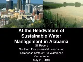
This proposal outlines a monitoring program for passerine birds in the Upper Snake Headwaters Subbasin in Idaho, aimed at assessing biodiversity, population trends, management impacts, and environmental health. The program will be conducted at various locations including Gray's Lake NWR, Market Lake WMA, Tex Creek WMA, Deer Parks, and South Fork Lands.

E N D
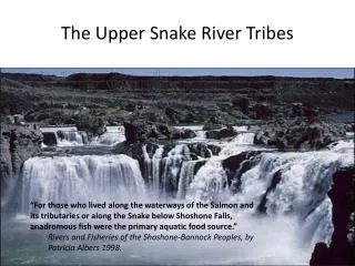
MAPS IN THE UPPER SNAKE HEADWATERS SUBBASIN Tim Reynolds, Ph.D. TREC, Inc. January 23, 2002
Objective • Describe proposed avian monitoring effort for Upper Snake Headwaters Subbasin, Idaho
Headwaters w/ Special Habitats • Gray’s Lake NWR – “inviolate sanctuary” • Market Lake WMA – Former Flood Plain • Tex Creek WMA – BOR & ACoE Mitigation lands • Deer Parks – BPA Mitigation lands • South Fork Lands – Conservation Easements & fee purchase
What’s Missing?? • Consistent monitoring program across the subbasin to assess: • Biodiversity • Population trends • Management and other impacts • Environmental Health
Proposal • Establish aggressive monitoring program for passerine birds in Snake River Headwaters Subbasin
Where ?? Deer Parks Heise Market Lake Black Canyon Tex Creek Grays Lake
Why Avian Monitoring • No consistent monitoring program throughout Headwaters • Birds considered excellent barometer for terrestrial habitat & environmental health • Birds considered excellent indicator of terrestrial biodiversity • Population metrics (e.g. species richness, abundance, etc) easily measured
Traditional Bird Survey • Point Counts (e.g. Breeding Bird Surveys) • Continuous Counts (e.g. Christmas Counts)
Traditional Data • Snapshot sampling • Presence/absence information • Species richness • Relative abundance • Species diversity • NO Vital Metrics • Productivity • Survivorship
What is MAPS? M onitoring A vian P roductivity & S urvivorship
MAPS is . . . • Constant effort avian capture and release program • Modeled after British Constant Effort Sites Scheme
MAPS is . . . • Nationwide program coordinated by the Institute for Bird Populations
MAPS is . . . Used by . . . • USFS as part of Partners in Flight Program • National Park Service Vital Signs Program • Department of Defense Legacy Resource Management Program • Over 450 MAPS Stations in US
MAPS Objectives • Annual indices of adult population size & post-fledging productivity • Annual estimates of • Adult survival rate • Population size • Proportion of residents in population • Recruitment into the population
MAPS Protocol • Breeding Season only! • Constant effort • Consistent seasonal start & end times • Consistent sampling time/sampling day • Consistent interval between sampling • Standard elements • Standard size mist nets: 12 m, 4 tier, 30-mm mesh • Standard number (10) of mist nets/station • Standard density (10/8 ha)
Expected Results • Measure of biodiversity • Assessment of productivity & survivorship • Sink vs source evaluation • Monitoring of population stability/changes • Measure of management or other impacts • Early warning from downward trends • Contributor to MAPS nation-wide program