Download
1 / 15
150 likes | 162 Views
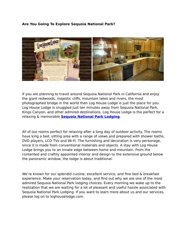
This project focuses on the implementation of Stage Two of the Giant Sequoia National Monument Collaborative Planning Process, which includes linking in science, stewardship fireshed assessment, and starting and continuing the NEPA process. The project also involves environmental, social, and economic analysis, as well as the development and implementation of a transparent and collaborative planning tool called ePubPlus.

E N D
GIANT SEQUOIA NATIONAL MONUMENTCOLLABORATIVE PLANNING PROCESS STAGE TWO – PLANNING AND NEPA
STAGE ONE – LINKING IN FIVE PIECES OF THE PUZZLE • What do we have so far? • Collaborative Planning Process • Linking in Science • Stewardship Fireshed Assessment (SFA) • Starting and continuing the NEPA process • Partnerships linking management across boundaries
IMPLEMENTATION OF STAGE TWO • NEPA SIDE OF THE TRIANGLE • INFORMATION AND COMMUNICATION TO THE PUBLIC • ANALYSIS
LEGS OF THE NATIONAL ENVIRONMENTAL POLICY ACT of 1969 (NEPA) PROCESS • Environmental Analysis • Social Analysis • Economic Analysis NEPA Environmental Social Economic
ENVIRONMENTAL ANALYSIS • Stewardship Fireshed Assessment (SFA) – March 2007 and May 2008 • modeling fire and fuels treatments • Dialogue with Scientists – May 2008 • reviewing science advisories from 2003 • Science Symposium – September 2008 (in partnership with Sequoia and Kings Canyon National Parks, US Geological Survey, and Pacific Southwest Research Station) • analyzing five (5) stressors on Southern Sierra Nevada Ecosystems
ENVIRONMENTAL ANALYSIS • Reinitiating/Finalizing inventory of the giant sequoia groves • Inventory will be conducted in coordination with the Regional Office Remote Sensing Lab • Production of an updated inventory and map of giant sequoia groves • Production of new satellite imagery and geographic information system maps of giant sequoia groves
SOCIAL ANALYSIS • Implementing a recreation visitor use research project on the Giant Sequoia National Monument (in partnership with the Pacific Southwest Research Station) • Data collected will help in analysis of who use the monument/forest • What are people’s values for using recreation facilities • Production of demographic data
SOCIAL ANALYSIS - continued • Implementation of a visitor use survey along the Tule River and Western Divide Road • Implementation of a visitor use survey on the Hume Lake Ranger District along Kings Canyon Road
ECONOMIC ANALYSIS • Working with the Regional Office and the Washington Office to implement a new economic analysis as a part of the “Headwaters Project” • Headwaters Project looks at local economies that are surrounded and impacted by public land management
“NEPA PLANNING THROUGH TRANSPARENT LENSES” • Initiating a new pilot project called ePubPlus using Limehouse Software • Web-based content development, publishing, and feedback tool to improve the public involvement process in the development of environmental documents
WHAT DOES EPUBPLUS DO? - continued • Web based system document-centric collaboration • Break documents into “sections” and assign to users • Edit content online using web based word processor • Collaboration on GIS images (GIS interface – ESRI) • Real time communication (Instant Message) • Automatic task notification (email client integration)
WHAT DOES EPUBPLUS DO? - continued • Create and reuse workflows – (predefined or ad hoc) • Multi-author simultaneously on the same document • Version Control – time and date stamp for each access • Allow “review only” access – comment only option • Reuse content to speed up production • Project Manage review cycle – Gantt Charts
WHAT DOES EPUBPLUS DO? - continued • Document content stored in one location • Preloaded templates (PDF and HTML) • “One touch publishing” (formats content automatically) • Consistency on output (fonts, colors, logos, pagination) • Save up to 40% on production costs (time and labor)
How Do We Link MCDS To EMDS? MCDS (Multi-Criteria Decision Support System) SFA (Stewardship Fireshed Assessment) EMDS (Environmental Management Decision Support System)
The Monument Plan NEPA Process Identify values, visions, & issues (collaborative planning effort) Published Notice of Intent Fall 2008 or Winter 2009 Developed Alternatives Spring 2009 Reviewed comments, & identify any new issues, concerns, alternatives Fall/Winter 2009/2010 Publish Draft Monument Plan & Draft EIS Summer/Fall 2009 Published FEIS, ROD, & Monument Plan 2010