Download
1 / 27
270 likes | 390 Views
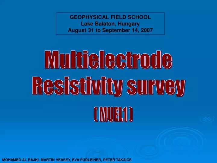
GEOPHYSICAL FIELD SCHOOL Lake Balaton, Hungary August 31 to September 14, 2007. Multielectrode Resistivity survey. ( MUEL1 ). MOHAMED AL RAJHI, MARTIN VEASEY, EVA PUDLEINER, PETER TAKA’CS. Satellite image of the Carpathian Basin. By NOAA17. Introduction:.

E N D
GEOPHYSICAL FIELD SCHOOL Lake Balaton, Hungary August 31 to September 14, 2007 Multielectrode Resistivity survey ( MUEL1 ) MOHAMED AL RAJHI, MARTIN VEASEY, EVA PUDLEINER, PETER TAKA’CS
Satellite image of the Carpathian Basin By NOAA17
Introduction: Our survey was part of a geophysical project in the Pannonian-basin. Different methods were used to better our understanding of the evolutional chapters of Lake Balaton. The large scale structure is the extensional basin (due to subduction of African Plate), which suffered later from compression. N Enying Ridge Lake Balaton 15km
Aim: • The Enying ridge (South from Lake Balaton’s Eastern shore )is a significant geological structure in the region but the reason for its existence is unclear. • The resistivity survey attempts to address this problem and give some possible interpretations.
Theory: * Current (I) is directed into the ground via two outer electrodes (C1 & C2). * The potential difference (∆Φ) is measured at various points (P1 & P2) between the current electrodes. * Apparent resistivity (ρa) is given by : ρa= k (∆Φ/ I) K is a geometric factor that depends on the arrangement of the four electrodes
Factors Affecting Resistivity * Porosity * Degree of water saturation in the rock * Pore space connection * Dry or wet conditions
ARES-G4 Equipment: • *ARES-G4 control box measures current, voltage & apparent resistivity. • *5 cables are used in the array. * Cable length is 32m. * Electrode Spacing is 4m. * Spread length is 156m. * Maximum Depth ≈ 30m. Electrode-Cable Connection
Wenner-Schlumberger Array M.H.Loke, 2004 * The Schlumberger array works by keeping thepotential electrodes at constant seperation while the current electrodesare expanded. * The Wenner array works by keeping constant spacing between all the electrodes. *Wenner-Schlumberger is a combination of the two.
Processing: *Topography from GPS is converted to EOV. *Data from ARES-G4 and the topography is read into RES2DINV software. *An inversion process takes place using forward modeling to obtain a model that best fits the measured pseudo section.
Dip ≈4.5° Dip ≈1.3° 174000 Ωm 586000 587000
enying4 enying5 VES:
MUEL2: 173000 584000 585000 NOT CONTINUOUS?
Interpretation • Old Pannonian Lake that previously covered the area may have deposited multiple limestone layers and clay/shale in between. • Shallow marine environment would respond quickly to any climatic changes. • Deformation causes tilting of layers. • Differential erosion. (More resistive limestone layers erode more slowly than clay/shale)
Limitations • >THE INVERSION ESSENTIALLY CREATES A BEST FIT MODEL. • INTERPRETATIONS ARE AMBIGUOUS. (OTHER MEASUREMENTS NEEDED) • NEAR SURFACE RESISTIVITY VARIATIONS CAN MASK THE EFFECTS OF DEEPER VARIATIONS. • THE GPS MEASUREMENTS ARE APPROXIMATELY +/- 5m IN THE (X,Y) PLANE. THE ERROR IN THE (Z) DIRECTION (ELEVATION) IS ABOUT +/- 10m.
Conclusion: Water level fluctuation -> small lakes, limestone caps on hills at about 120-130m hight above sea level. The high resistive layer (Enying1 Western end) could be dipping towards the South. Interpretation without a 3-D Model is very ambiguous.
References: Fülöp József: Magyarország geológiája – Paleozoikum I. Gyalog László, Horváth István: A Velencei-hegység és a Balatonfő földtana; Budapest 2004 Lóczy Lajos Geological Map. M.H.Loke, (1996-2004), (Revision date : 26th July 2004) Philip Kearey, Michael Brooks, Ian Hill: An introduction to geophysical exploration; Blackwell Publishing Company 2002
Acknowledgements Thanks to Zoltán Hámori for leading the survey All other groups for sharing their data and results ELTE Space Research Group for the maps All the staff of University of Leeds and Eötvös Loránd University