Download
1 / 11
110 likes | 233 Views
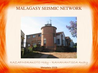
MALAGASY SEISMIC NETWORK RAZAFINDRAKOTO Hoby – RAMANANTSOA Andry Metadata 2009. OUTLINE Historical of the Malagasy seismic network Data processing Conclusion. OUTLINE Historical of the Malagasy seismic network Data processing Conclusion. SEISMIC STATIONS IN MADAGASCAR.

E N D
MALAGASY SEISMIC NETWORK RAZAFINDRAKOTO Hoby – RAMANANTSOA Andry Metadata 2009
OUTLINE • Historical of the Malagasy seismic network • Data processing • Conclusion
OUTLINE • Historical of the Malagasy seismic network • Data processing • Conclusion
SEISMIC STATIONS IN MADAGASCAR 1898: TAN 1971: AVY 1972: VTY, FRR 1978: OBY 1982: ABM 1994: ATG 1995: MDV 2001: FIRM 2007: ABPO 2008: FOMA The Malagasy first seismic station was installed in Antananarivo in 1898. The network has been improved and composed now by 11 stations.
Seismometer ZM500 Seismometer 3 components ZM500 and HM500
OUTLINE • Historical of the Malagasy seismic network • Data processing • Conclusion
LOCATION OF SEISMIC EVENTS Until 1972 EYEWITNESS REPORT 1972 – 1988 GEOMETRICAL METHOD 1988 – 2001 ISIS LEAST SQUARE METHOD 2001 – now ONYX
SEISMICITY MAP OF MADAGASCAR Seismotectonic map and location of the seismic network: 1 D faults; 2 D thrusts; 3 D main towns; 4 D seismic stations; 5 D seismic activity for magnitudes 4.0 located by the Malagasy array between 1979 and 1994; 6 D known earthquakes of magnitude 5.0 between 1914 and 1994; 7 D intensities VII recorded between 1897 and 1960; 8 D focal mechanisms (Bertil et al., 1998) Seismicity map of Madagascar between 1975 and 2006 (Rakotomalala,2007)
OUTLINE • Historical of the Malagasy seismic network • Data processing • Conclusion
The more extended the network is, the better the results are Suggestion: -to use all the stations for the seismic location - to create a new database for the data from all the stations in Madagascar • enlarge the network to the western part • Data exchange in order to study the plate tectonics
THANK YOU MISAOTRA TOMPOKO