Download
1 / 25
260 likes | 445 Views
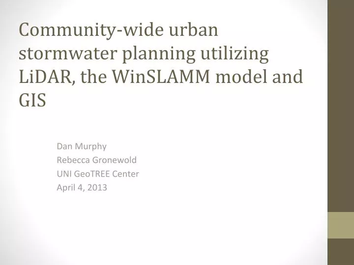
Community-wide urban stormwater planning utilizing LiDAR, the WinSLAMM model and GIS. Dan Murphy Rebecca Gronewold UNI GeoTREE Center April 4, 2013. Contributors. John DeGroote Dr. Ramanathan Sugumaran Bernard Conrad Jeff Burnett. UNI GeoTREE Center.

E N D
Community-wide urban stormwater planning utilizing LiDAR, the WinSLAMM model and GIS Dan Murphy Rebecca Gronewold UNI GeoTREE Center April 4, 2013
Contributors • John DeGroote • Dr. Ramanathan Sugumaran • Bernard Conrad • Jeff Burnett
UNI GeoTREE Center • GeoInformatics Training, Research, Education, and Extension Center • Support the use of geospatial (GIS, RS, GPS, web mapping) technologies at UNI and throughout Iowa • www.geotree.uni.edu
This Project • Funded by the Iowa Water Center • Ongoing project • Collaborating with • Facilities Planning at UNI • Paul Voorhees at PV & Associates • City of Dubuque
Project goals • Investigate use of LiDAR topographic data in WinSLAMM modeling processes • Development of loosely coupled interface between ArcGIS and WinSLAMM (ArcSLAMM) • More efficient development of WinSLAMM inputs • Visualization of WinSLAMM outputs through ArcGIS • Freely available ArcGIS tools • Provide free training exercises for use of ArcGIS tools for WinSLAMM
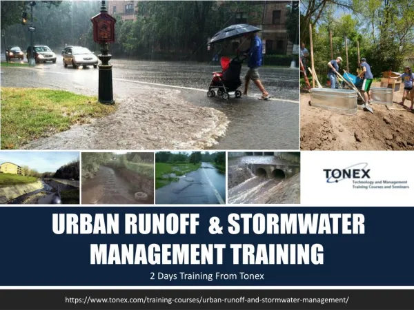
Background • Urban watersheds are complicated environments which contribute to flooding and degraded water quality • More regulatory pressure on municipalities to develop effective urban stormwater management strategies
Background • Municipalities would benefit greatly by having affordable urban storm modeling tools with a GIS component. • Take advantage of information about topography, land use, and soils in GIS databases
WinSLAMM • Windows Source Loading and Management Model (WinSLAMM) • Used as a planning tool to better understand sources of urban pollutants and their control(s) • http://winslamm.com/default.html
WinSLAMM • Predicts relative contributions from different source areas (roofs, streets, parking areas, etc.) • Used in a variety of locations • GIS often utilized in pre- and post-processing • Overall • Identify contributing source areas • Provide a measure of the effectiveness of stormwater best management practices • Detention ponds, infiltration devices, bioretention cells, etc.
LiDAR and WinSLAMM • Investigate the usefulness and feasibility of incorporating LiDAR into a WinSLAMM modeling process • Develop tools to assist in processing of LiDAR data • Would LiDAR allow more realistic sub-basin boundary development of urban areas as compared to more traditional elevation data?
LiDAR and WinSLAMM • Can produce more detailed and accurate representations of drainage areas • Significant processing necessary to produce hydrologically enforced DEM • ArcGIS tools are being developed to help process hydrologically enforced DEMs from LiDAR elevation data
Digital dams in LiDAR DEM Tools to burn streams and storm sewers in DEM
Subbasin delineations • Delineationof catchments more topographically realistic using LiDAR as compared to manual delineation or using lower resolution DEMs • WinSLAMM modeling efforts will be more realistic if subbasins are more closely matched with actual drainage • More effective placement of BMPs
LiDAR derived basins vs. manually delineated subbasins on UNI campus
http://www.raritanbasin.org/Projects/manasquan/Final%20Summary%20Report%20111308%20revisions.pdfhttp://www.raritanbasin.org/Projects/manasquan/Final%20Summary%20Report%20111308%20revisions.pdf
ArcGIS and WinSLAMM • Typically users might use GIS to develop source areas and then manually enter values into the WinSLAMM interface • We are developing tools to automate that process • These ArcSLAMM tools will produce WinSLAMM compliant databases per drainage or catchment area which can then be run in batch mode through WinSLAMM
Applications • We will be applying the ArcSLAMM tools to the Dry Run Creek and Catfish Creek watersheds • We will be testing the effectiveness of using local zoning data in conjunction with high resolution land cover data being produced by Pete Kollasch and others at Iowa DNR • Compare to previous WinSLAMM modeling results for UNI campus based on digitized source areas from aerial photography
ArcGIS database to WinSLAMM database conversion ArcGIS feature class attribute table WinSLAMM database Populated WinSLAMM interface
Conclusions • LiDAR data provides detail that is useful for urban storwater modeling but requires pre-processing • We are developing a set of tools which will couple ArcGIS and WinSLAMM together and make modeling for small to moderately sized urban watersheds much more practical • We will make the ArcGIS tools freely available and host a free training seminar this summer