Download
1 / 15
150 likes | 335 Views
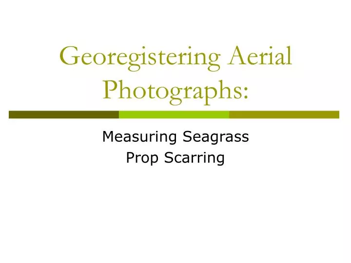
Georegistering Aerial Photographs:. Measuring Seagrass Prop Scarring. Seagrass . Submerged flowering plant found in shallow marine or estuarine waters Provides habitat for many commercially important animals Disturbed by brown tide, low water quality, dredging, and propeller scarring.

E N D
Georegistering Aerial Photographs: Measuring Seagrass Prop Scarring
Seagrass • Submerged flowering plant found in shallow marine or estuarine waters • Provides habitat for many commercially important animals • Disturbed by brown tide, low water quality, dredging, and propeller scarring
Project Goals: • Obtain unregistered aerial photograph • Obtain DOQQ’s • Use basemap with known coordinate system to register photograph • Use registered photograph to digitize and measure propscarring
1. Aerial Photograph 1:9,600 format Warren Pulich Jr., Ph.D. International Institute for Sustainable Water Resources Texas State University San Marcos, Texas Coastal Bend Bays & Estuaries Program
2. Digital Orthophoto Quarter Quads • Computer generated image of aerial photograph with features represented in true geographic positions • Used as base map • Coordinate system:NAD83 • Projection: UTM • http://www.tnris.state.tx.us/digital.htm
Texas Coast Estes Flats, North Redfish Bay
Registering Aerial Photos • Add unregistered aerial photo to basemap • Use Georeferencing tools to align aerial photo with basemap • Fit to display • Add control points • Choose transformation order
1st Order Polynomial Allows photo to be shifted or scaled, but does not deform image Requires at least 3 links
2nd Order Polynomial Allows some distortion of photo Requires at least 6 links
3rd Order Polynomial Requires at least 10 links Allows maximum distortion of photo when links are poorly aligned
Registered Map 2nd order transformation 13 links
Measuring PropScars • ArcCatalog: Create New Feature Class • Use editor and sketch tool to trace along each prop scar • Open attribute table of New Line feature class and sum total length of new lines
Digitized Propeller Scars Total length of prop scarring = 6,456 meters Average length of each prop scar = 122 meters
Conclusions • Higher resolution photo needed for measuring smaller scars Thanks. Questions?