Download
1 / 6
60 likes | 205 Views
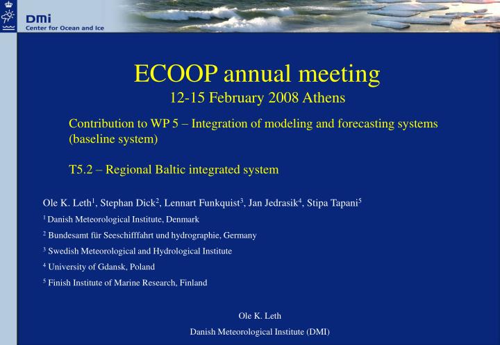
ECOOP annual meeting 12-15 February 2008 Athens. Contribution to WP 5 – Integration of modeling and forecasting systems (baseline system) T5.2 – Regional Baltic integrated system. Ole K. Leth 1 , Stephan Dick 2 , Lennart Funkquist 3 , Jan Jedrasik 4 , Stipa Tapani 5

E N D
ECOOP annual meeting 12-15 February 2008 Athens Contribution to WP 5 – Integration of modeling and forecasting systems (baseline system) T5.2 – Regional Baltic integrated system Ole K. Leth1, Stephan Dick2, Lennart Funkquist3, Jan Jedrasik4, Stipa Tapani5 1 Danish Meteorological Institute, Denmark 2 Bundesamt für Seeschifffahrt und hydrographie, Germany 3 Swedish Meteorological and Hydrological Institute 4 University of Gdansk, Poland 5 Finish Institute of Marine Research, Finland Ole K. Leth Danish Meteorological Institute (DMI)
Overview • Status of WP 5, T5.2: Work completed • Status of WP 5, T5.2: Work in progress
WP5 T5.2 Regional Baltic integrated system • Regions under consideration in ECOOP: • Baltic Sea • North Sea • Iberian – Biscay – Irish region • Mediterranean Sea • Black Sea North Sea Baltic Sea IBI Region Black Mediterranean Documentation related to WP5 T5.2 which is available on Progecta: D 5.2.1.1 Report on baseline integrated BOOS system V0 ● This deliverable makes use of information collected during ECOOP WP4 activity S4.1.1 ● This deliverable describes each Baltic Sea system (V0) at the start of ECOOP: Regional models (Baltic Sea system [DMI]) Coastal models (Danish Straits [BSH], Gulf of Finland [FIMR, SYKE], South-East Baltic Sea [SMHI, UoG])
WP5 T5.2 Regional Baltic integrated system Baltic Sea regional and coastal model domains (V0) Existing regional models: DMI NS/BS BSH NS/BS SMHI NS/BS FIMR BALECO UoG M3D_UG Existing coastal models: DMI Danish Straits BSH Danish Straits SYKE (Gulf of Finland) UoG M3D_UG (South East Baltic Sea)
WP5 T5.2 Regional Baltic integrated system WP5 T5.2 Work tasks from now to 31 October, 2008 Work tasks for S5.2.1: To build up a Baltic regional system V1 – DMI is leading this subtask V0V1 should include: ● 3 nautical mile grid spacing model of the Baltic Sea ● Coupled two-way nested physical–ecological model ● Data-assimilation for physical parameters Status: ● 3 nautical mile version of DMI-BSHcmod is running operationally ● DMI and SMHI are using data-assimilation (OI-like) ● Suspended Particulate Material (SPM) transport model (developed at GKSS in cooperation with BSH) is being implemented at DMI and BSH ● Ecological models GOTM-BIO and ERGOM is being implemented at BSH and DMI, respectively Work tasks for S5.2.2: Downscaling and upgrades of targeted demonstration coastal area (Baltic-North Sea transition zone – Danish Straits) – BSH is leading this subtask in cooperation with DMI and SMHI V0V1 should include: ● 0.5 nautical mile grid spacing model of the Danish Straits ● Physical-biochemical model of the Danish Straits ● Two-way nesting into regional system Status: ● 0.5 nautical mile version of the Danish Straits has been implemented ● Implementation of SPM model is under way ● Ecological model is being implemented
WP5 T5.2 Regional Baltic integrated system WP5 T5.2 Work tasks from now to 31 October, 2008 (Continued): Work tasks for S5.2.3: Downscaling and upgrades of targeted demonstration coastal area (South East Baltic Sea) - SMHI is leading this subtask in cooperation with University of Gdansk V0V1 should include: ● 0.5 nautical mile model of the South East Baltic Sea ● Physical-biochemical model of the South East Baltic Sea ● Two-way nesting into regional system Status: ● SMHI: High resolution version of HIROMB of the South East Baltic Sea ● University of Gdansk: 0.5 nautical mile model based on POM for the South East Baltic Sea ● Both systems have ecological modules (SMHI: SCOPI; Univ. of Gdansk: ProDeMo) Work tasks for S5.2.4: Downscaling and upgrades of targeted demonstration coastal area (Gulf of Finland) - FIMR is leading this subtask in cooperation with SYKE V0V1 should include: ● High resolution model of the Gulf of Finland ● Physical-biochemical model of the Gulf of Finland ● One-way nesting into regional system Status: ● 0.5 nautical mile version of SYKE lake model has been implemented ● SYKE one-way nested to FIMR Baltic Sea model