Download
1 / 1
10 likes | 116 Views
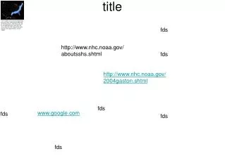
This map illustrates the number of hurricanes expected over a 100-year period, derived from historical data. Areas are color-coded: light blue indicates an expected occurrence of 20 to 40 hurricanes, dark blue shows 40 to 60 hurricanes, and red signifies regions where more than 60 hurricanes are projected. This information is based on research from the National Atlas and the USGS. Please note that the map is not to scale, and further details can be accessed through the provided sources.

E N D
The number of hurricanes expected to occur during a 100-year period based on historical data—light blue area, 20 to 40; dark blue area, 40 to 60; red area, more than 60. Map not to scale. Source: the National Atlas and the USGS fds title http://www.nhc.noaa.gov/aboutsshs.shtml fds http://www.nhc.noaa.gov/2004gaston.shtml fds www.google.com fds fds fds