Download
1 / 11
110 likes | 322 Views
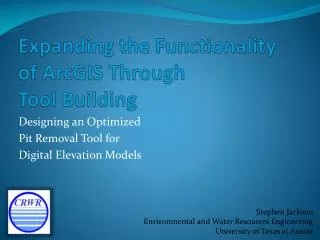
Expanding the Functionality of ArcGIS Through Tool Building. Designing an Optimized Pit Removal Tool for Digital Elevation Models. Stephen Jackson Environmental and Water Resources Engineering University of Texas at Austin. Desired Tool: Optimal Pit Removal.

E N D
Expanding the Functionality of ArcGIS Through Tool Building Designing an Optimized Pit Removal Tool for Digital Elevation Models Stephen Jackson Environmental and Water Resources Engineering University of Texas at Austin
Selected Tool Structure Output Input Visualization Original File(s) Input Output (Linked) Input Output Input New File(s) MAGIC
Optimal Pit Fill Tool Results Total Average Change Fill: 5.85 Cut: -21.08 Optimal: 1.02 Artificially Generated Terrain 1000 x 1000 Cells (Equivalent to 1 sq. km at 1m resolution)
Further Work and Acknowledgements • Further Work: • Finish debugging and documenting current tool • Experiment with LiDAR and explore potential uses • Modify code to use multiple processors and different input file types • Acknowledgements: • Pierre Soille (Joint Research Centre, European Commission, Italy) • Dr. Tarboton (Utah State University) • Dr. Maidment and the GIS Research Group (University of Texas at Austin) • Dr. Jackson (Cornell University)