Download
1 / 13
130 likes | 262 Views
Jill Thomas Will Smith Stacey Landini. What is GIS?. A system used for capturing, storing, analyzing and managing data and then associates attributes which spatially reference Earth. What GIS is used for. Geographic information system technology can be used for ….

E N D
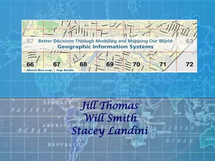
Jill Thomas Will Smith Stacey Landini
What is GIS? • A system used for capturing, storing, analyzing and managing data and then associates attributes which spatially reference Earth
What GIS is used for Geographic information system technology can be used for … • scientific investigations • asset management • environmental impact assessment • resource management • urban planning • cartography • criminology • history • sales • Marketing • logistics
How GIS is used in San Francisco http://www.youtube.com/watch?v=xLjtzxXTpN0&feature=related
What makes GIS different? • MIS • Information Management and Systems, is the discipline covering the application of people, technologies, and procedures to solving business problems. • GIS- • Collect information so that company is more efficient. • Not only used in business.
Three Views of Data • Database View: Information system for geography • Map View: Intelligent maps that show feature relationships on the earth’s surface • Model View: Set of transformational tools derived from geographical database.
Benefits of GIS Improves Decision Making Management and Control Service to Clients • Reduced Errors Risks
ARC GIS • Collection of integrated information of GIS software products.
Raster Vector Data Storage 27 Rockefeller Blvd, Rensselaer, NY, 12144
Vector View • -Lines of Latitude (run east-west) • -Lines of Longitude (run north-south)
TomTom Video http://www.youtube.com/watch?v=zgcG1C-Sc_M&feature=related
How Business Incorporate GIS • In the weather industry GIS system formats are used for current forecast information.