Download
1 / 17
170 likes | 350 Views
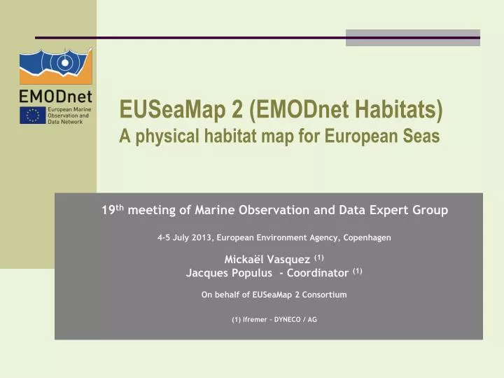
EUSeaMap 2 ( EMODnet Habitats) A physical habitat map for European Seas. 19 th meeting of Marine Observation and Data Expert Group 4-5 July 2013, European Environment Agency , Copenhagen Mickaël Vasquez (1) Jacques Populus - Coordinator (1 )

E N D
EUSeaMap 2 (EMODnet Habitats)A physical habitat map for EuropeanSeas 19th meeting of Marine Observation and Data Expert Group 4-5 July 2013, EuropeanEnvironmentAgency, Copenhagen Mickaël Vasquez (1) Jacques Populus - Coordinator(1) On behalf of EUSeaMap 2 Consortium (1) Ifremer – DYNECO / AG
Outline • Methodology developed for broadscale habitat mapping • Past projects • EUSeaMap (ur-EMODnet) • MeshAtlantic • Lessons learned • EUSeaMap 2 • Objectives • Tasks • Interactions withotherEMODnet lots • 2014 deliveries
Methodology : aEunis driven top-down approach • Eunis Classification provides a common language for seabed habitats Methodology Past Projects EUSeaMap 2
Biological zone : Infralittoral Energylevelatseabed : High Substrate : Rock Methodology : aEunis driven top-down approach Methodology Past Projects EUSeaMap 2
Broad-scale habitats full coverage layer Methodology : aEunis driven top-down approach Biological zones full coverage layer Energy at the seabed full coverage layer Seabed substrate full coverage layer Methodology Past Projects EUSeaMap 2
Methodology : aEunis driven top-down approach • Biological Zones layer : eachbiological zone has to bemodelisedvia • depth or derivative (slope change) • otherphysicalparameters, for which a proxy has to beused
Methodology : aEunis driven top-down approach • Energyat the seabed layer : combined action of wave-induced and current-inducedenergy • 3 levels are considered in EUNIS • High • Moderate • Low Methodology Past Projects EUSeaMap 2
Methodology : aEunis driven top-down approach • Seabedsubstrate layer : has to bestandardised in the 6 classes classification used by EUNIS • Rock • Coarsesediment • Mixed sediment • Sand • Muddysand • Sandy mud • Mud Methodology Past Projects EUSeaMap 2
Methodology : aEunis driven top-down approach • ArcGIS Model Structure Pixel size: 250 m Methodology Past Projects EUSeaMap 2
EUSeaMap (ur-Emodnet, JNCC coordination) • Aim : to provide broad-scale maps of seabed habitats • for 4 basins • using common functional mapping methods Methodology Past Projects EUSeaMap 2
MeshAtlantic : InterregIV project, Ifremer coordination Atlantic broadscalemapcreatedaccording to the methodologydeveloped by EUSeaMap Methodology Past Projects EUSeaMap 2
Lessonslearnedfrompastprojects MeshAtlanticsuccessfullyusedEUSeaMap’smethodologyitisrobust Eunis classification is not available in some areas (e.g. BalticSea, deepseas) EUNIS can’tbeusedeverywhere, henceneed for improvement Oceanographic data is the mostdifficult to get somespecialists must be part of the team Thresholds for EUNIS classes must beimproved to reflect the communitiesthat live inside the habitat they have to becalibrated by as many as possible samplesof habitats (grountruthing) There is a hugelack of groundtruth data weneed to findsome Methodology Past Projects EUSeaMap 2
EUSeaMap 2 – Main objectives To fill in the gaps (blue areas on the map) To improve the mapscreatedso far, thanks to inputs improvements (hydrodynamicsmodels, seabedsubstratelayers, …) Refine down to 100m pixel size in pilot areas Methodology Past Projects EUSeaMap 2
EUSeaMap 2 – Main tasks WP1 - Classification review - ISPRA (I) WP2 - Data preparation - HCMR (GR) WP3 - Habitat samples data - Geoecom(RO) WP4 - Thresholds - Ifremer (F) WP5 - Modelling and confidence - JNCC (UK) WP6 - Web portal - JNCC (UK) WP7 - Applications of physical habitat products - DCE (DK) WP8 - Coordination and Communication - Ifremer (F) Methodology Past Projects EUSeaMap 2
EUSeaMap 2 – Interactions withother lots Bathymetry and Geology lots provide direct inputs to EUSeaMap 2 Biology lot couldprovidesample data thatwemissed in pastprojects These data shouldbeavailable for us by the end of year 1 We are keen on sharing withthese lots ourrequirementsattheir kick-off Methodology Past Projects EUSeaMap 2
EUSeaMap 2 – 2014 deliveries • Mapswillbe made available for the empty areas • Adriatic • Ionian • Aegan • But atlowresolution, using IBCM geologymap (Scale 1 / 10,000,000) Methodology Past Projects EUSeaMap 2