Download
1 / 17
170 likes | 274 Views
Learn about the successful collaboration in GIS preparedness and response from the California Earthquake Clearinghouse. Explore the origins, objectives, and achievements of this initiative in managing earthquake disasters. Discover the key strategies, technologies, and best practices for efficient data sharing and information exchange in emergency situations.

E N D
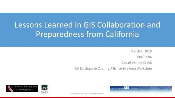
Lessons Learned in GIS Collaboration and Preparedness from California March 1, 2018 Phil Beilin City of Walnut Creek CA Earthquake Country Alliance Bay Area Workshop napsgfoundation.org | @napsgfoundation
Synopsis of Your Story napsgfoundation.org | @napsgfoundation
Origins of the Clearinghouse Concept 1st Clearinghouse called for by Gov. Ronald Reagan after 1971 San Fernando Earthquake—2017 is our 46 Year Anniversary!
Managing Organizations California Seismic Safety Commission Chair: California Geological Survey (Permanent Lead Agency) Vice Chair: Earthquake Engineering Research Institute California Office of Emergency Services U.S. Geological Survey
Clearinghouse Sub-Committees IT Sub-Committee: Chair: Phil Beilin (City of Walnut Creek) Outreach Sub-Committee: Chair: Paula Scalingi (Bay Area Center for Regional Disaster Resilience) Overflight Sub-Committee: Chair: Ken Hudnut (USGS) Cal OES Air Coordination Group: Derek Kantar
Clearinghouse Objectives • Facilitate field investigations by earth scientists, engineers and social scientists, who converge on the disaster site • Synthesize information for response agencies • Clearinghouse does notdirect or control activities of participants • Facilitate Geospatial data sharing • Develop work flows for information sharing from planning through recovery 2014 S. Napa Earthquake, DR-4193 (photo A.Rosinski) Nisqually, WA Clearinghouse, Feb. 2001
Clearinghouse Exercise Successes 9 EXERCISES
Coordination And Collaboration: Information Sharing Between Multiple State, Federal, Local Organizations, through XchangeCore connected applications Emergency Function-10 N. CA Chapter Emergency Function-8
Information Sharing: Improving Situational Awareness and Decision Support Means to accomplish mandate Mandate • State of California DHS Science & Technology Directorate XchangeCore • National Earthquake Consortia • DHS FEMA NEHRP CA Earthquake Clearinghouse Information Sharing & Technology Interoperability
Each Organization Uses Their Own Application to Compose Data Into the Right View Vigilant Guard 17 – Combining Data Provided By Multiple Response Organizations, And Shared Through The California Earthquake Clearinghouse XchangeCore, For Enhanced Situational Awareness
Clearinghouse Demonstrating Information Sharing System of Systems – January 2017 Winter Storm PG&E Outage Information in SpotOnResponse
2017 CA FIRES Geospatial Data AAR Workshop • Pre-stage geospatial data locally • (parcels, bldg. foot prints, vulnerable pop, CI) • Copy Incident / damage data locally from Cloud • Learn and bookmark authoritative sources of data • CALOES, USGS, NOAA, CDPH, CALEPA • Continue to develop air coordination and imagery coordination napsgfoundation.org | @napsgfoundation
Criteria for Success • Develop centralized process to compile/share damage information • Participate in planning for Emergency Response exercises • Support development of workflows from field to EOC’s and above • Learn when and how to request geospatial data • Access to data before, during and after an incident napsgfoundation.org | @napsgfoundation
CA CLEARINGHOUSE RECOGNIZED BY U.S. Department of Homeland Security as a GeoCONOPS Best Practice! California Earthquake Clearinghouse Sept. 22, 2015: “…a geospatial method, technique, capability or resource that provides superior support to the mission; and is used by the geospatial community as a benchmark for success”
Take Away Message napsgfoundation.org | @napsgfoundation
Thank you! Phil Beilin City of Walnut Creek GIS Coordinator, CA GIS Council Chair 2017; NAPSG R9 co-Coordinator http://californiaeqclearinghouse.org or pbeilin@walnut-creek.org napsgfoundation.org | @napsgfoundation
USGS-Open Geospatial Consortium recommendation for technology interoperability with XchangeCore • Common Operational Data - Multiple data sources and formats orchestrated and made available to other applications • Make data intelligent so can use for analysis so responders can make informed decisions • Support sharing on both geospatial and NON-geospatial information • https://www.youtube.com/watch?v=m5GvWUeTFvE&feature=youtu.be