1 / 43

FOR 220 Aerial Photo Interpretation and Forest Measurements

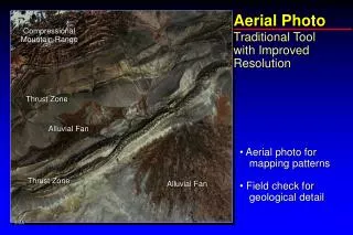
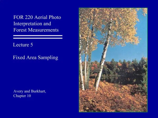
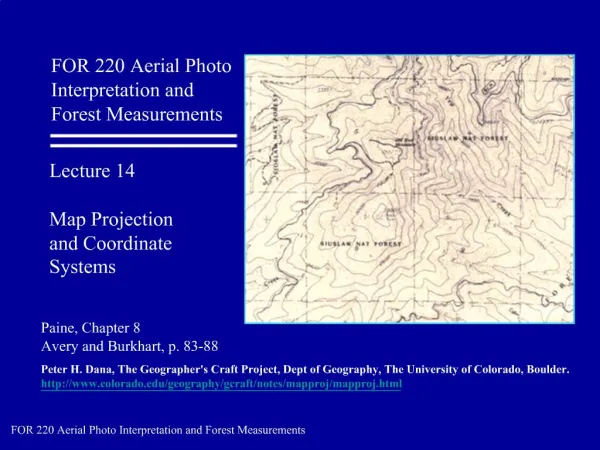
Overview. . Map Projections Datums Coordinate Systems. FOR 220 Aerial Photo Interpretation and Forest Measurements. Lecture Topics:. Map Projections. . Definition. A map projection is a portrayal of the earth's surface (or portion of the earth's surface) onto a flat surface.There is no univer

nishan
Download Presentation

FOR 220 Aerial Photo Interpretation and Forest Measurements

An Image/Link below is provided (as is) to download presentation Download Policy: Content on the Website is provided to you AS IS for your information and personal use and may not be sold / licensed / shared on other websites without getting consent from its author. Content is provided to you AS IS for your information and personal use only. Download presentation by click this link. While downloading, if for some reason you are not able to download a presentation, the publisher may have deleted the file from their server. During download, if you can't get a presentation, the file might be deleted by the publisher.

E N D

Presentation Transcript


    More Related