Download
1 / 35
350 likes | 447 Views
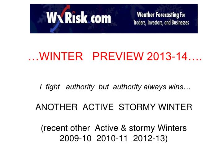
…WINTER PREVIEW 2013-14…. I fight authority but authority always wins… ANOTHER ACTIVE STORMY WINTER (recent other Active & stormy Winters 2009-10 2010-11 2012-13). LETS LOOK AT OCT & NOV PATTERN WHY?

E N D
…WINTER PREVIEW 2013-14…. I fight authority but authority always wins…ANOTHER ACTIVE STORMY WINTER(recent other Active & stormy Winters 2009-10 2010-11 2012-13)
LETS LOOK AT OCT & NOV PATTERN WHY? Sometimes the overall pattern in OCT and NOV sets up the overall winter pattern but this is not always the case. Sometimes the pattern of OCT and NOV reveal important clues to watch for as we head into DJF. These can be warnings sign that the seasonal forecast may be in trouble
Lets look at the current pattern again 11 NOV 2013 That ++EPO is EXTREME & massive. It is more than 2 Stnd Deviations… it is 350dm above the mean for OCT and NOV. Lets look at ALL the OCTOBERS & NOVEMBERS which featured a MASSIVE ++ EPO like this what did the following DECEMBERS and Winters look like?
FORECASTING THE NAO By USING High level winds of MAY & SEPT AL’s FORECAST FOR 2013 DJFA
SO… what did we Learn? Even though the OCT and NOV pattern would seem to indicate that DEC 2013 will be Mild.. the Model data NOV 13 -15 is strongly hinting at MAJOR changes in the overall pattern which supports a colder DEC
NEXT LETS LOOK AT SSTAs WHY? SEA SURFACE TEMPS Research shows that large areas of COLD and WARM SSTAs (Sea Surface Temperature Anomalies) that stay in one general location can and DO affect weather patterns • EL NINO • LA NINA • LA NADA • PDO • AMO? ENSO
ENSO THIS WINTER ? A COLD ocean water anomalies = La NinaWARM ocean water anomalies = El Nino
ECMWF shows NEUTRAL ENSO thru 1st half of Winter but HINTS at some weak warming / weak El nino Feb & March 2014. IF so this increases chances of extended Winter CFS shows NEUTRAL ENSO thru all of the winter
SCRIPPS shows SOME weak warming / weak El nino over all of the Winter that increases in the Spring. IRI ..of 19 models 18 show NEUTRAL ENSO thru 1st half of Winter but HINTS at some weak warming / weak El nino Feb & March 2014.
The vast Majority of ALL forecasts are calling for “ NEUTRAL ENSO “ this winter. In other words NO EL NINO no LA NINA. But I am not so sure. There is major warming in the subsurface of ENO Regions. The warming is DEEP... 100 to 150 meters down. But it IS increasing AND it is coming to the surface over ENSO region 3 and ENSO regions 1+2. Thus It is POSSIBLE that weak El Nino conditions May appear FEB & MARCH IN 2014
the PDO ..what is it ? PDO .. Pacific Decade Oscillation is OCEAN water pattern that refers to a specific type of warm / cold water configuration in the central / eastern North Pacific Ocean. This can and does affect the Jet stream patterns. Note WHERE the cold water/ warm is located: cold water up against West coast of N America Warm water in central Pacific Note WHERE the cold water/ warm is located: WARM water up against West coast of N America – Cold water in central Pacific
-PDO sea surface temp patterns strongly favor-PNA weather patterns +PDO sea surface temp patterns strongly favor+PNA WEATHER patterns +PNA pattern in Winter = Ridge on West coast so Western US =warm & dry. TROUGH on Eastern US = COLD sometimes stormy -PNA pattern = Trough west coast= stormy cold wet into the Upper Plains & warm dry over eastern US
SO… what did we Learn? The Sea Surface Temperature Anomalies in the central & eastern Pacific are NOT like Autumn 2012. Although OFFICALLY the Pacific is still in -PDO … the SSTA “pattern” clearly is similar to +PDO and supports +PNA Teleconnection for at least the 1st half of the Winter 2013-14ASSUMING the SSTA pattern in the eastern Pacific stays like it currently is … then +PNA pattern will be common : a pattern that will supply cold air … and at times arctic air -- into the central and / or Eastern US
SNOW COVER IN SIBERIA / EURASIA (SAI) Research by Dr Judah Cohen of AER shows that in OCT the rate of snow expansion SOUTHWARD... from the Arctic circle towards the Equator strongly correlates to colder than Normal air masses over the Central & eastern US… and Europe especially in the 2nd half of the Winter. SAI- snow Advance Index http://www.nsf.gov/news/special_reports/autumnwinter/model.jsp
SO… what did we Learn? The Siberian snow cover got off to a GREAT start- that actually began in the Last week of SEPT 2013. Except for that “pause” that lasted 4-5 days in mid OCT... the snow cover build up was MASSIVE—hence 4th highest ever. Thus the SAI would seem to be supportive of -AO and colder snowier winter for central & eastern US & UK/ Europe
THE QBO • The QBO quasi-biennial oscillation (QBO) is high level wind at the very top of the atmosphere (30 mb) that exists over the Equator that oscillates from East (negative QBO) to West ( Positive QBO) . A full cycle of the QBO can take anywhere from 18 to 30 months. The strongest Positive values are usually around +15.00 or so while the strongest Negative values will exceed -25.00 or so. The QBO winds work there way down to into the Lower levels and affect weather patterns. • http://en.wikipedia.org/wiki/Quasi-biennial_oscillation • LINK FOR ACTUAL QBO DATA http://www.esrl.noaa.gov/psd/data/correlation/qbo.data
so? WHY is this QBO thing important? Last Winter WxRisk.com CORRECTLY forecast a warm DEC 2012 and 1st half JANUARY 2013 … followed by MAJOR PATTERN FLIP in Mid / late JANUARY 2013… and that the new cold & stormy pattern would last to April 2013 in the Northeast and early MAY in Midwest /Plains. As we now Know that is EXACTLY what happened. I was able to make that forecast based on somewhat different understanding of the QBO and how to read the QBO trends in the Autumn months preceding the Winter. Strongly POSITIVE QBO values correlate to Non Blocking weather patterns in the Jet stream. And strongly Negative QBO values in the cold season Months = +AO and +NAO patterns. BUT… QBO values that are “weak” (-8 to +8) strongly favor Blocking patterns over N Hemisphere in the cold season months ( NDJFM)
This Image clearly shows WHY a “ near Neutral” QBO favors an active cold stormy winter in eastern US / western Europe
OK… so what about QBO values & trend in Autumn 2013? JULY = +14.27AUG = +14.66SEPT = +13.12OCT = +11.69 CLEARLY the QBO is dropping . But ..How fast?? It only has to drop 4-5 points to get into” near Neutral” Range
THE QBO for WINTER 2013-14 Even if the QBO were to drop just another 2 points on the NOV readings ( comes out 12/3) and 2 more points on DEC readings (which come out Jan 3) … odds STRONGLY favor an IDEAL QBO for Most of the winter but especially late Jan FEB MARCH APRIL There is a HIGH Probability that NOV & DEC QBO values will drop MORE than 2 points . IF that is the case…IF … then JAN 2014 would be just as cold stormy as FEB & MARCH 2014 SOOOOOO.. Lets look at ALL the QBO Autumns with + QBO values of +10 that dropped to “ NEAR NEUTRAL” ( +8 to -8) QBO ANALOG WINTERS : 1957-58… 1959-60 1969-70 1995-96 2002-03 and 2006-07 Some of those winters were HISTORIC cold and snowy with BIG Midwest and Northeast US snowstorms. And 3 of the 6 were El Nino winters which THIS winter may not be
FORECASTING THE NAO By USING QBO winds WHEN the QBO is strongly positive BUT dropping…. AND drops into the range Near ZERO the % of STRONG -NAO reaches near 75%
SO… what did we Learn? The QBO is currently Just Above +10 but it is weakening. How fast the QBO weakens and drops to +8 or Lower will determined how fast really cold/ stormy portion of Winter begins. Last winter the flip did not occur until he Middle of JAN 2013. That may be the case this time BUT it could also flip in early Jan 2014. Once the QBO does drop to the “ Near Neutral”… The HEART of the Winter will begin. IF there is an weak El Nino ..IF… the Winter could turn Severe for some portion of the eastern half of the country
SUMMARY OF MY IDEAS for WINTER 2013-14 • ANY and ALL Winter forecast issued by ANYONE or any private weather company before OCT 1 .. is worthless Bravo Sierra. • NOV cold in western Canada a good thing • OCT snow cover very good. • PDO = looks positive • DEC warmest of the 3 months But it may not be that warm • Strong signals LATE JAN …FEB.. MARCH = colder than normal . Noreaster Potential COULD be High • IF WEAK El Nino develops Late…watch out!
Over on the Web site this winter I will be using RSI (regional snowstorm Index) and the NESIS ( Northeast Snowstorm Index Scale