Download
1 / 73
730 likes | 939 Views
California Close-Up. California Content Standards Focus on Earth Science 9a Students know the resources of major economic importance in California and their relation to California’s geology.

E N D
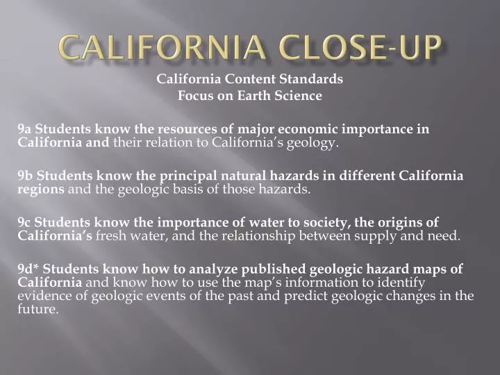
California Close-Up California Content Standards Focus on Earth Science 9a Students know the resources of major economic importance in California and their relation to California’s geology. 9b Students know the principal natural hazards in different California regions and the geologic basis of those hazards. 9c Students know the importance of water to society, the origins of California’s fresh water, and the relationship between supply and need. 9d* Students know how to analyze published geologic hazard maps of California and know how to use the map’s information to identify evidence of geologic events of the past and predict geologic changes in the future.
California’s Place in the Atmosphere • California Is located in the Northern Hemisphere above the 30°N latitude. This location puts California within the prevailing westerlies wind belt. • The winds in California generally blow from the west, off the Pacific Ocean, to the east. • The local patterns of wind circulation are determined by the state’s mountains and valleys. Thus, you may encounter winds coming from different directions.
California Place in The Hydroshere • California’s western edge meets the Pacific Ocean to form a coastline that is 1,350 km long. • The ocean, is a major influence on California. • A current called the California Current flows from north to south along California’s coast. • This broad, slow-moving, shallow current carries cool water along the coast and moderates California’s climate by cooling air that moves across the Pacific Ocean into California.
California’s Place in the Geosphere • California is located near the place where three tectonic plates meet. • These plates are the Pacific plate, the North American plate, and the small Juan de Fuca plate. • Over time, the interaction of these three plates has made California a mountainous state. • California has two major volcanoes—Mt. Shasta (4,317 m above sea level) and Lassen Peak (3,187 m above sea level). Both volcanoes are located in the southern Cascade Mountains of northern California.
California’s Place in the Geosphere • California can also claim the highest and lowest points in the continental United States. • Mount Whitney in the Sierra Nevada has an elevation of 4,421 m above sea level. • Badwater, a salty pool in Death Valley, has an elevation of 86 m below sea level.
Rainfall and Climate in California • The topography in California and California’s location near the Pacific Ocean have created diverse climate patterns in the state. The climate in California ranges from cool and wet to hot and dry. Rainfall paterns have a large impact on California’s Climate
Rainfall in California • Two air masses that most often cause rain in California during the winter are the Maritime Polar Pacific air mass and the Maritime Tropical Pacific air mass. • These air masses enter the mid-latitudes, they are driven across the Pacific Ocean toward California by the winds of the prevailing westerlies. • These air masses move over the Pacific Ocean, they absorb moisture from the evaporation of ocean water.
Cold Fronts • Maritime Polar Pacific air mass moves southeast toward California in the winter, the air mass meets warmer air from the mid- latitudes. • The air mass pushes the warm air upward and forms a cold front. Rain often begins to fall over the Pacific Ocean before the cold front reaches the California coast. • If rain does not begin over the ocean, then mountains will determine where rain will occur in inland California.
Rain-Shadow Zones • The California Coast Ranges and the Sierra Nevada create rain-shadow zones. • Rainfall is heavy along the western side of the Coast Ranges and the Sierra Nevada. • Much less rain, however, occurs on the eastern side of these mountains. Thus, semi-arid interior valleys and arid deserts have formed on the eastern side of the mountains.
The “Pineapple Express” • Along a cold front, conditions that cause a low-pressure, counterclockwise circulation of the atmosphere may develop. • The southern part of this circulation pattern produces southwesterly winds. As these winds move farther southward, they pull air from the Maritime Tropical Pacific air mass into southern California. • The result is warm, tropical rain in southern California. • The name “Pineapple Express” refers to this warm, moist air that comes from the Pacific Ocean near Hawaii.
Annual Precipitation • Average annual precipitation in California, which includes rain, snow, and other forms. • Mountains receive the highest annual precipitation, and the rain-shadow valleys receive very little precipitation. • Cold fronts move southward through California, the cold air meets and mixes with warm air. As the air warms, rainfall stops. • Southern California receives less rainfall than does northern California.
Annual Precipitation • Mountains in the northwest corner of the state, more than 305 cm (120 in.) of precipitation may fall during a year. • In the deserts in the southeastern part of the state, less than 15 cm (5 in.) of precipitation may fall during a year. • In fact, differences in latitude can cause extremes in precipitation. • In one year, for example, 409 cm (82.3 in.) of precipitation was recorded in the Santa Lucia Mountains along California’s central coast. • The town of Bagdad in the Mojave Desert of southern California, however, received no rainfall for a period of 25 months!
Climate Zones in California In California, average precipitation decreases southward. In addition, average temperatures increase southward because of a decrease in latitude. Precipitation and temperature, together with the elevation in different parts of California, produce the climate zone
Climate Zones • There are a variety of climate zones in California. • These include Mediterranean climates such as those found around the Mediterranean Sea in southern Europe and northern Africa. Areas that have a Mediterranean climate have mild winters and warm, dry summers. • California also has a cold, highland/timberline climate zone. This climate zone is found at the highest elevations in the mountains. • Arid mid-latitude and low-latitude deserts are located in southeastern California. These desert climate zones are dry and have hot summers and cool winters.
Climate Zones • California also has steppe climate zones. Though quite arid, these climate zones receive more precipitation than do the deserts. • In some parts of California, differences in elevation are large enough to produce several climate zones in a very small geographical area. • For example, you could play volleyball on a beach in Los Angeles and, within a two-hour drive, ski in the mountains or climb rocks in the desert.
California’s Geologic History California is located on the edge of the North American continent near the point where three tectonic plates meet. Because of its location, California has a very complex geologic history.
The Ancient History of California • California began to form almost 2 billion years ago. The geologic map of California shows rocks that range in age from 1.8 billion years to the present. California’s oldest rocks, however, occur in only a few scattered locations in the southernmost part of the state. • The oldest of these rocks are metamorphic gneisses that are about 1.8 billion to 1.7 billion years old. These rocks, were later intruded by magmas that formed batholiths of granite and gabbro. • These batholiths range in age from 1.4 billion to 1.2 billion years. After they formed, these metamorphic and igenous rocks were uplifted and eroded.
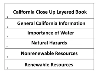
California Natural Resources • California is rich in natural resources. Some of these resources are renewable. • Others are nonrenewable. • For those resources that are nonrenewable, wise management is necessary if Californians are to keep their present lifestyle.
Water Resources • Most of the water in California comes from rain and snowmelt. • This water flows to the ocean by way of surface streams. • The water also percolates into natural groundwater storage basins. • Californians get most of their water from streams and underground basins.
Surface Water • Surface water is a renewable resource that meets about 60% of California’s water needs. • California is not water self- sufficient. In order to meet present water needs, some water has to be imported from outside the state. • Any future increase in population will require either better conservation methods or an increase in imported water. • The distribution of water in California is unequal.
Surface Water • Southern California must import much of its water. • To be used in California households, surface water must be free of stream pollution at its source and must be protected from contamination during its storage in lakes and reservoirs. • It must also be treated before it is sent to where it is needed.
Groundwater • The remaining 40% of California’s water needs are met by groundwater. • Groundwater is contained in aquifers. • In these aquifers, groundwater has collected in sediment that has filled in basins between the mountains. • The largest aquifer in California is the Central Valley aquifer system.
Groundwater • Groundwater in this aquifer fills a large basin between the Coast Ranges and the Sierra Nevada. • The water from this system is used to irrigate farmland in the Central Valley. The availability of water has helped the Central Valley become the largest producer of agricultural products in the United States. • Most of California’s population centers are located above aquifers along the coast. Groundwater in these aquifers, however, can no longer meet the demand of these growing populations. • Southern California meets some of its needs by using water from northern California and the Colorado River. Some of this water is transported through the Los Angeles Aqueduct.
Energy Resources • Californians need fuel, heat, and electricity to maintain their modern-day lifestyle. Oil and natural gas are largely used to provide all three of these needs.
Oil and Natural Gas • Oil and natural gas are nonrenewable resources that are relatively abundant in the state. • Nonrenewable resources are those that form at a rate much slower than the rate at which they are consumed. • Oil and natural gas provide 78% of all of the energy used in California.
Oil and Natural Gas • The first successful oil well in California began operating in 1865 in Humboldt County. • By 1930, major oil fields had been discovered in Kern, Kings, Los Angeles, Santa Barbara, and Ventura Counties. • The first offshore oil field to be developed in the United States, near Santa Barbara, where drilling began in 1896.
Hydroelectric Energy • Hydroelectric energy refers to electricity that has been produced using falling water. • For this to happen, a river must be dammed to create a lake. The water at the base of the dam is then released through electric-generating turbines, which generate electricity. • California has many operating hydroelectric dams.
Geothermal Energy • Geothermal energy, a renewable resource, is generated by the heat of Earth’s interior. • Steam is produced in places where groundwater comes in contact with hot magma below Earth’s surface. Wells can be drilled into the steam sources. The steam is used by turbines to produce electricity. • The largest geothermal field in California is The Geysers. • The Geysers is located in the mountains near San Francisco and supplies electricity to that city. • Today there is little possibility of finding new geothermal energy resources in California.
Wind Energy • Wind energy is also a renewable resource, and generating stations are being built in many of the windiest places in California. • For the production of wind energy to be economical, the power of the wind at a given site must be more than 400 watts per square meter. • There are very few places in California where wind power is that high.
Solar Energy • Solar energy is a renewable resource that is growing in use in California. In fact, California has been a leader in developing solar energy for electricity generation. • The largest solar electric generating plant in the world is located in Kramer Junction in the Mojave Desert. • Electricity generated by this plant is supplied to the Los Angeles area.
Mineral Resources • California leads the United States in the production of nonfuel minerals. In 2004, more than 1,100 mines in the state together produced minerals valued at $3.61 billion.
Sand and Gravel • Sand and gravel are used mostly in the construction industry and are mined from quarries in river deposits. • During the winter, river flow brings new sand and gravel downstream to replace the quarried material.
Portland Cement • Portland cement is mixed with sand and gravel in the construction industry to make concrete. • Portland cement is made mostly of powdered limestone mixed with clay, sand, and gypsum. • All of these components are obtained from sedimentary rocks. The limestone is quarried largely from deposits in southeastern California.