
Smart Work Zone Systems: Enhancing Freeway Safety and Efficiency
E N D
Presentation Transcript
Smart Work Zone Systems Presented by Prahlad D. Pant, Ph.D. PDP Associates Inc. www.PDPassociates.com
Problems in Work Zones • Congestion and lack of real-time information • Safety of motorists and workers
Long Delay Ahead Construction Ahead Expect Delays
A “smart work zone system” is the application of computers, communications, and sensor technology to freeway transportation.
General Characteristics of Smart Work Zone Systems: • Real-time: • Analyzes traffic flow-data in real-time, providing frequently updated information to the motorists • (b) Portable • Can be installed at different locations with minimal modifications • (continued)
(C) Automated Operates in automated manner (24 hrs/day, 7 days/week) with minimal supervision by human operators (d) Reliable Provides accurate and reliable information, taking into account the serious negative consequences of misinforming motorists
A smart work zone system, if properly designed and implemented, will: • Better inform motorists and reduce their frustrations; • Encourage motorists to take alternate routes; • Reduce congestion and allow more freely flowing traffic; • (continued)
Clear incidents more quickly, thereby reducing secondary incidents; • Make work zones safer for highway workers and motorists.
Disclaimer: The above list is provided for information only. The presenter is not familiar with the working or suitability of these systems except TIPS and ASIS.
Traffic Information & Prediction System www.PDPassociates.com
Primary Objective To provide travel-time information to motorists in advance of and through freeway work zones on a real-time basis.
TIPS: A portable freeway traffic management system that can provide real-time, automated,accurateand reliable travel time information in advance of and through the work zone
Major Components • Software with intelligent algorithm and travel-time estimation models, based on sound traffic flow theory • Radio communication devices • Traffic sensors and microcontrollers • Mobile trailers with solar panels & batteries • Portable changeable message signs
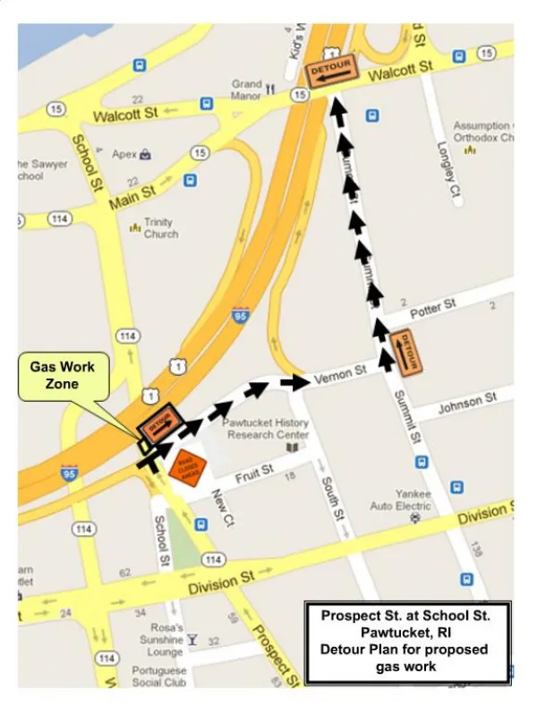
Deployment in 2000: • I-75 work zone in Dayton, Ohio • Urban (Downtown) • Work zone – 3 miles • Advance area – 11 miles • July - November, 2000
Deployments in 2001 • I-75 Dayton, Ohio (April – Sept) • Urban (Downtown) • Work Zone – 3 miles • Advance area – 11 miles • (2) I-94 Milwaukee, Wisconsin (June – Oct) • Semi-rural • Work Zone – 12 miles • Advance area – 7 miles
Base Station: • Polls each sensor at 30-sec intervals and receives traffic flow data for each lane • Calculates travel times and sends instruction to changeable message signs • Changeable message sign displays the message and sends confirmation to the Base Station.
INCIDENT MANAGEMENT • Telephone dial-up and remote control of the entire system from anywhere • Capability to remotely and instantly display customized messages on any sign during incidents, temporary closures, or any unexpected conditions on the freeway
Independent Evaluation of TIPS Performed for the Ohio Department of Transportation By Ohio University, Athens, OH Final Report, March, 2001
Results of Independent Evaluation for Ohio DOT • “About 88% of the actual times for each sign, and for all the signs combined, were within a range of plus or minus 4 minutes of the predicted times.”
Results of Independent Evaluation for Ohio DOT 2. “Almost 97% of surveyed motorists felt that a system to provide real-time travel time information in advance of work zones is either outright helpful or maybe helpful.”
Question: Do you think that such a travel time prediction system in advance of work zones and in advance of exits in heavily traveled freeways where drivers could select an alternate route in situations where long travel times to the end of the work zone are predicted is helpful to the motoring public?
Conclusions of Independent Evaluation of TIPS for Ohio DOT “The real-time TIPS system represents a definite improvement over any static non-real-time display system”. (continued)
Conclusions of Independent Evaluation for Ohio DOT “TIPS provides in general and most of the time useful and relatively accurate travel time predictions to the motoring public and appears to be perceived by the motoring public as helpful and useful”.
Independent Evaluation of TIPS Performed for the “Midwest Smart Work Zone Deployment Initiative” Iowa, Kansas, Missouri, Nebraska and Wisconsin By University of Wisconsin, Milwaukee, WI Marquette University, Milwaukee, WI Interim Report, May, 2002
Independent Evaluation of TIPS Performed for the “Midwest Smart Work Zone Deployment Initiative” (Iowa, Kansas, Missouri, Nebraska and Wisconsin) “The before and after analysis supports the notion that TIPS is influencing drivers to change their routes”. On Sunday afternoons, 10 percent of I-94 drivers chose an alternative route. (Note: TIPS was not set up to provide any information on the availability of alternative routes.)
Independent Evaluation of TIPS Performed for the “Midwest Smart Work Zone Deployment Initiative” (Iowa, Kansas, Missouri, Nebraska and Wisconsin) More results are expected to be available in the coming weeks/months.
Advance Speed Information System www.PDPassociates.com
Objective: To determine vehicular speeds at downstream segments of a freeway and display them on changeable message signs at upstream locations
Benefits: ASIS is expected to reduce rear-end crashes by allowing motorists to adjust their speeds and reduce the elements of “surprise”.
An “ASIS Sign” consists of a portable changeable message sign with the following equipment mounted on it and integrated as one device: • Traffic sensor • Microcontroller • Radio, modem and antenna
Two signs work in pair and any number of signs can be added as necessary. • Minimum no. of signs = 2 • Maximum no. of signs = No limit • Signs communicate with each other. A “base station” PC is not required. However, a “base station” is available as an option.
Consider the following scenario: 60 mph 55 mph 30 mph 25 mph 10 mph 0 mph Distance (mi) Not to scale (Examples follow:)