Download
1 / 10
100 likes | 113 Views
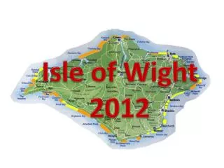
Regions reaching for the sky: satellite information for risk management Coastal Risk Management by the Isle of Wight Council: experience in trans-national Interreg Projects. Claire Marriott Isle of Wight Centre for the Coastal Environment Isle of Wight Council UK. The Isle of Wight. IWCCE.

E N D
Regions reaching for the sky: satellite information for risk managementCoastal Risk Management by the Isle of Wight Council: experience in trans-national Interreg Projects Claire Marriott Isle of Wight Centre for the Coastal Environment Isle of Wight Council UK
IWCCE The Isle of Wight Centre for the Coastal Environment (IWCCE) is a department of the Isle of Wight Council and undertakes activities on a local, regional, national and transnational scale in relation to coastal and geotechnical issues.
Messina MESSINA: Managing European Shorelines and Sharing Information on Nearshore Areas (2003-2006). Ultimately, MESSINA aims at maximizing the benefits of future investments in coastline management and raise the public awareness about the need to manage the coastline in a sound and sustainable way.
Component 2 – monitoring & modelling the shoreline To inventory and analyse existing coastline monitoring tools (ground-based, shipborne, airborne tools) and modelling instruments (hydrodynamic and geomorphological) used in Europe to measure and anticipate coastline evolution, as well as to establish and disseminate technical guidelines to be used by local coastal managers.
Monitoring Techniques - bathymetric survey side scan sonar grab sampling Shipborne Airborne Interferometric Synthetic Aperture Radar (IfSAR or InSAR) LiDAR (Light Detection And Ranging) Airborne multispectral (MS) camera systems Airborne thermal infrared radiometers (TIR) Hyperspectral sensors.
Monitoring Techniques – Levelling Total station theodolite Global positioning system (GPS) Ground Based Spaceborne Moderate Resolution High Resolution
South-East Regional Strategic Coastal Monitoring Programme A standard, repeatable and cost-effective method of monitoring of the coastal environment. Channel Coastal Observatory, 2005
Conclusions The MESSINA practical guide offers an overview of coastal monitoring and modelling techniques whilst also providing information on costs and potential applications to real-life case studies. This is intended to be of value to those administrations or local authorities with little or no expert knowledge in this field and also provide a new perspective to allow local authorities to do existing work in a more efficient and effective manner.