Download
1 / 15
160 likes | 266 Views
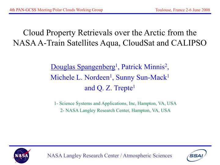
Cloud Property Retrievals over the Arctic from the NASA A-Train Satellites Aqua, CloudSat and CALIPSO. Douglas Spangenberg 1 , Patrick Minnis 2 , Michele L. Nordeen 1 , Sunny Sun-Mack 1 and Q. Z. Trepte 1 1- Science Systems and Applications, Inc, Hampton, VA, USA

E N D
Cloud Property Retrievals over the Arctic from the NASA A-Train Satellites Aqua, CloudSat and CALIPSO Douglas Spangenberg1, Patrick Minnis2, Michele L. Nordeen1, Sunny Sun-Mack1 and Q. Z. Trepte1 1- Science Systems and Applications, Inc, Hampton, VA, USA 2- NASA Langley Research Center, Hampton, VA, USA
NASA A-Train Constellation CALIPSO (Lidar) CloudSat (Radar) Aqua (MODIS) 0.5-2 min 15 sec
• Passive MODIS sensor •1km res pixels sub-sampled to 2 km for cloud property retrievals • Channels used for cloud detection, cloud property retrievals (NASA CERES algorithm): 0.65,2.1, 1.38, 3.7, 6.7, 7.3,8.5,11,12,13.3mm -Original Algo, Cloud Detection/Phase, Cloud-Top Altitude • Cloud Properties: Z,T, Phase, t, LWP, IWP, Particle Size Aqua: • Cloud-Aerosol lidar with 532, 1064 nm channels • 0.33-5.0 km horizontal res; 30, 60 m vertical res • Cloud properties: N layers, T, Z, Phase, t, IWP • Lidar attenuates after t=5; often can’t see to cloud base CALIPSO: CloudSat: • 94 GHz Cloud Profiling Radar • 2.5x1.4 km horizontal res; 240 m vertical res • Cloud properties: t, LWC/LWP, IWC/IWP, Particle Size A-Train Satellites
R: 0.65 mm G: 3.7-11 mm B: 11 mm Aqua 11mm BT A-Train Aqua Cloud Phase A-Train Cloud Analysis, 22:25 UTC Apr 19, 2008 Aqua RGB Aqua Optical Depth
CALIPSO VFM Aqua Cloud Phase CALIPSO Phase A-Train A-Train Cloud Analysis: 22:25 UTC Apr 19, 2008
Aqua 11mm BT CloudSat Reflectivity A-Train A-Train Cloud Analysis: 22:25 UTC Apr 19, 2008 CloudSat Ice Re CloudSat IWC
Aqua Liquid Re CloudSat LWC CloudSat Liq Re A-Train A-Train Cloud Analysis: 22:25 UTC Apr 19, 2008
Aqua-MODIS Validation • Compare CERES Aqua-MODIS cloud property retrievals to CloudSat/CALIPSO retrievals (passive vs active sensor retrievals) • Results from April 2008 afternoon/daytime overpasses, 22-23:30 GMT • ARM/ISDAC field experiment flight days • Region: 60-80N; 130-180W • Nearest 4 Aqua-MODIS pixels along CloudSat/CALIPSO track used • CALIPSO & CloudSat data points matched to within 4 km, 4 min
Aqua-MODIS Validation CALIPSO Scene Types Sampled: Cloud Amount & Phase Matching between CALIPSO & Aqua: • Results valid for CALIPSO upper-most cloud layer
Cloud Top Height, CALIPSO vs Aqua: CALIPSO mean: 5.24 km Aqua mean: 4.39 km Aqua bias: -0.85 km Aqua-MODIS Validation
Aqua-MODIS Validation Ice Crystal Effective Diameter, CloudSat vs Aqua:
New Aqua-MODIS Multilayer Cloud Property Retrievals April 19 2008, 22:20 GMT SL/UL Ztop Low-Level Ztop Aqua Optical Depth • Uses 13.3 mm channel/CO2 slicing to detect multilayer clouds • t, Re, T, Z, e for low (liquid) layer • Can improve ice cloud detection by adjusting highest cloud top upward
Summary & Future Work • CALIPSO, CloudSat provide data for validating Aqua-MODIS cloud property retrievals on a continuous basis over remote Arctic/Antarctic. • A-Train data can be compared with cloud model data & retrievals from passive sensors on geo satellites (validation studies). • CALIPSO reported combinations of ice and liquid phase in low level Arctic clouds rather than reporting mixed phase. • Problem in CloudSat data for clouds below ~1km, to hopefully be resolved. • In-situ data obtained during field experiments will provide valuable data for validating CALIPSO/CloudSat retrievals (ISDAC/AK-Apr 2008).
Summary & Future Work • Comparisons between Aqua passive sensor retrievals and active sensor retrievals of CALIPSO show good agreement for cloud amount, phase, height. • Comparisons between Aqua and CloudSat t, particle size, LWP/IWP showed larger discrepancy which needs to be resolved - Account for differences inherent in retrievals methods - Improve Aqua-MODIS retrieval techniques for polar clouds • Multilayer Aqua-MODIS cloud algorithm should be able to provide improved retrievals for high ice clouds and low mixed/liq clouds. • Web Pages for Information/Data Access: - CALIPSO:http://www-calipso.larc.nasa.gov/ - CloudSat:http://cloudsat.atmos.colostate.edu/data/