Download
1 / 16
190 likes | 329 Views
The British Isles. Great Britain and Ireland. Lesson Objectives. Differentiate between Great Britain and the United Kingdom Outline the history and describe political characteristics of the United Kingdom List cultural characteristics of the four regions of the United Kingdom

E N D
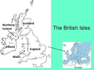
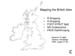
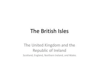
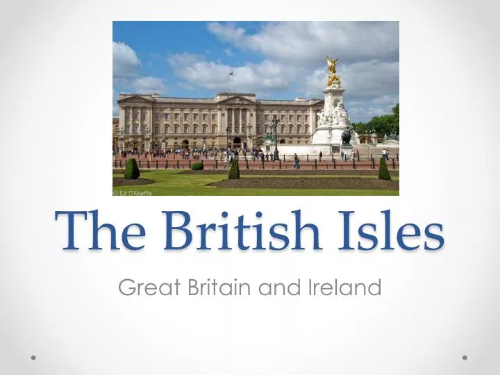
The British Isles Great Britain and Ireland
Lesson Objectives • Differentiate between Great Britain and the United Kingdom • Outline the history and describe political characteristics of the United Kingdom • List cultural characteristics of the four regions of the United Kingdom • Locate and label all the countries of Western Europe and various physical features • Explain the history, economic characteristics, and political characteristics of the Nordic nations • Identify physical characteristics of the Nordic Nations
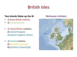
United Kingdom • United Kingdom vs. Great Britain • Great Britain is a geographic term • Island which consists of: • England • Scotland • Wales • United Kingdom is the state • Made up of: • England • Scotland • Wales • Northern Ireland
History • Kingdom of Great Britain established 1707 • Prior, each Kingdom was a separate state/separate country • Kingdom of Ireland joined Kingdom of GB in1800 • Colonization- ‘The Sun Never Sets on the British Empire’ • 1500s- Southeast and South Asia • Late 1500s- North America • ‘Scramble for Africa’ – 1880s
Politics • Began the Commonwealth of Nations • Historical ties • Work towards a common goal • United Kingdom= Constitutional Monarchy • Monarch=Queen Elizabeth II • Head of Government = • Parliament • House of Lords • House of Commons • No written constitution!
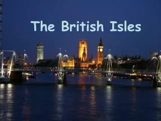
UK: England • London • Capital of the UK, Located in England • Global City Region • Thames River • Home of Buckingham Palace • Queen Elizabeth II • Queen’s Guards • Culture • Cricket • English Channel
UK: Scotland • Physical Characteristics • Moors and Bogs • Scottish Culture • Loch Ness Monster • Kilts, Ghillies, and Bagpipes…Oh My! • Dances • Highland Fling • Athletic Games • Caber Toss • Stone Put • Scottish Hammer Throw
UK: Wales • Long History of Mining • Speak Welsh • Royal Family • Prince Charles and Princess Diana • Prince William and Kate Middleton
UK: Northern Ireland • Northern Ireland is on the same island as Ireland the country but… • Protestant and Catholic Conflicts • English=Protestants • Irish=Catholics • Divisions led to bitter conflicts • Why?
Republic of Ireland • Physical Characteristics • Shaped like a huge bowl • Moist Climate • “The Emerald Isle”
History & Political Characteristics • Independent Country • History (lil bit of review!) • Kingdom of Ireland • Fell under British rule • Protestant Reformation • Potato Famine • 1840s • Famine- • Why was this a problem? • Result: • 1 million Irish starved to death or died of disease • Push and Pull Factors
Irish Republican Army-IRA • 1916-1921 • Fought against the British- wanted a completely independent country • Guerrilla warfare • Murderous gangs • Result: • Northern Ireland- • Independent Ireland- • Bloody Sunday • January 30, 1972
Irish Culture • Languages: Gaelic and Irish • Blarney Stone • Do you have the “Luck of the Irish”? • Shamrocks • Leprechauns and Pots of Gold
Assignment • HAND-DRAW a map of Western Europe. Use your identification map that I provided you with as a guide. LABEL all of the identifications that are on that map, on your hand-drawn map. Maps MUST be colored. This assignment is worth 35 points.