Download
1 / 14
140 likes | 255 Views
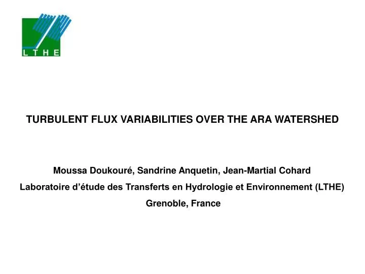
TURBULENT FLUX VARIABILITIES OVER THE ARA WATERSHED. Moussa Doukouré, Sandrine Anquetin, Jean-Martial Cohard Laboratoire d’étude des Transferts en Hydrologie et Environnement (LTHE) Grenoble, France. INTRODUCTION.

E N D
TURBULENT FLUX VARIABILITIES OVER THE ARA WATERSHED Moussa Doukouré, Sandrine Anquetin, Jean-Martial Cohard Laboratoire d’étude des Transferts en Hydrologie et Environnement (LTHE) Grenoble, France
INTRODUCTION The determination of turbulent fluxes is very important for the closure of energy balance equation. In an hydrological point of view : Close the water balance at the watershed scale ► Evaluate the water ressources avalaible for both population needs and energy production In an agrometeorological point of view : Assessment of the evapotranspiration term that quantifies water needed by plants ► Evaluate water scarcity and agricultural strategy. Usual technical measurement - Point measurement
INTRODUCTION Difficulties in measuring Surface heterogeneities (temperature, soil humidity, topography) and atmospheric state generate secondary circulation and rolls that make difficult the accurate measurement of turbulent fluxes with conventional measurements (EC) Simulated organized turbulent structures Simulated water vapour mixing ratio over Hamdallaye watershed (Niger) (Steinfeld et al, 2006) Problem of averaged data representative of the surfaces Problem of flux sources control for more acurate analyses (Lothon et al,2007)
Savannah trees Savannah bushes Cultures and/or bare soils INTRODUCTION Another concept of measurement: Large Aperture Scintillometer(LAS) Better estimation from the time and space average than from point measurement Need to characterize the variability below the LAS path, wind direction and stability parameter ►Take into account the 3 dimensionnal (3D) behavior of the turbulent fluxes ► Analyse the footprint Case Study : The ARA watershed (~12 km2) in Nalohou (North part of Benin) Also a problem of representativeness !!!
METHODOLOGY Use of an atmospheric model coupled with land surface scheme Use of atmospheric 3D model including Large-Eddy Simulation (LES) approach can resolve part of these problems. ►Use Meso-NH model (Lafore et al, 1998) Perform sensitivity studies Topography, atmospheric and ground forcings for a case study of 10/04/2006 ► Impact on the turbulent flux variabilities
MODELING STRATEGY 5 nested domains (Two-way) 10.36 9.83 9.79 9.36 9.61 2.23 1.23 1.48 1.70 10.03 9.91 9.72 1.63 1.55 9.53 9.58 1.89 1.77 1.39 1.44 Topography - SRTM 90m Δx= Δy=18km Cyclic boundary conditions Δx= Δy=1km Open boundary conditions Altitude (m) Δx= Δy=250m Open boundary conditions Δx= Δy=6km Open boundary conditions Δx= Δy=2km Open boundary conditions
MODELING STRATEGY ECMWF radiation scheme LES, sub-grid paramerization of Deardorff Clear sky conditions SURFEX soil-vegetation-atmospheric-transfer model (Noilhan and Planton, 1989) ECOCLIMAP (Masson et, al 2003) (1km2) for vegetation parameters Can ECOCLIMAP be usefull for our study ? Homogeneous sahelian woodland Spot vegetation at 20m resolution ( Zin et al, 2009)
Vertical profil of qv at 10:30, 10/04/2006 MODELING STRATEGY Initialization : sounding atParakou,10/04/2006 at 10.30 AM Extraction of data at each time step. Simulation strategy 20 minutes radiation scheme OFF 24h simulation, diurnal cycle, radiation scheme active 10/04/2006 10.30 AM 11/04/2006 10.30 AM
PRELIMINARY RESULTS: WIND ROTATION Δx= Δy=18km Cyclic boundary conditions Final North and North-West wind Initial South-Westerly wind forcing Dynamic forcing no maintained
PRELIMINARY RESULTS: FLUX VARIABILITY OVER CATCHMENT SCALE Turbulent latent heat flux W/m2 Turbulent sensible heat flux W/m2 ► Highest values on the crests and advected in lower zones
PRELIMINARY RESULTS: IMPACT OF THE TOPOGRAPHY ON THE FLUX VARIABILITIES Same meteorological forcings ! Vertical wind over the « real » topography m.s-1 Vertical wind organized as convective rolls Vertical wind over flat terrain m.s-1 Vertical motion organized according to orographic structures ► Highest values over flat terrain rather than over « real » topography. ► Vertical motion modified by the orography structure
PRELIMINARY RESULTS: SCINTILLOMETER FOOPRINT ANALYSIS Latent heat flux over flat terrain Latent heat flux with topography The local wind has an impact on the shape of the footprint Latent Heat Flux « seen » by the scintillometer Min : 153 W/m2 Max : 169 W/m2 Mean : 163 W/m2 Std : 4.4 W/m2 Min : 122 W/m2 Max : 137 W/m2 Mean : 127 W/m2 Std : 4.4 W/m2
CONCLUSION AND PRESPECTIVES Conclusion • Wind rotation probably due to cyclic boundary condition • High values of fluxes observed over crests and advected into the lower zones • Wind circulation influenced by the horizontal gradient of turbulent fluxes Perspectives Attempt to improve simulations with OPEN boundary condition that is better to maintain wind direction Improve the vegetation cover description by using satellite analysis (Zin et al., 2009) ► Satelite data ECOCLIMAP Probably use of ECMWF reanalysis as forcing data !!!