Download
1 / 20
200 likes | 202 Views
This text provides information on the capacity building activities at the South African National Space Agency (SANSA) and its mandate to promote space-related activities, research, and industrial development. It also highlights SANSA's Earth Observation (EO) program and its partnership with universities and high schools to provide training, resources, and data in the field of remote sensing and GIS.

E N D
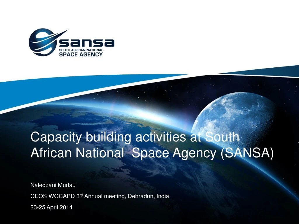
Capacity building activities at South African National Space Agency (SANSA) Naledzani Mudau CEOS WGCAPD 3rd Annual meeting, Dehradun, India 23-25 April 2014
SANSA Mandate “To provide for the promotion and use of space and co-operation in space-related activities, foster research in space science, advance scientific engineering through human capital, support the creation of an environment conducive to industrial development in space technology within the framework of national government policy” SANSA primarily derives its legislative mandate from the South African National Space Agency Act (Act 36 of 2008) and its strategic mandate from the 1. Ten-Year Innovation Plan 2. National Space Strategy 3. South African Earth Observation Strategy
Organizational Structure & Strategic Programmes Department of Science & Technology (DST) SANSA Board & Executive SANSA Earth Observation Directorate SANSA Space Engineering Directorate SANSA Space Operations Directorate SANSA Space Science Directorate Space Science Programme Earth Observation Programme Space Engineering Programme Space Operations Programme Human Capital Development Programme
Earth Observation Directorate Key Goals: • Offer efficient EO services for national and international benefit and a sustained environment • Conduct cutting-edge research, development and innovation to continually improve SANSA’s EO offering • Development of human capital in EO related science • Provide services that stimulate industry growth and participation in EO • Establish and maintain effective and mutually beneficial international partnerships partnerships in line with national strategic alignment
Operational sensors Direct reception • SPOT 5 • Landsat 7, 8 • MODIS Distribution: SPOT 6, WorldView-1 and 2, Pleiades, GeoEye-1, RapidEye, TerraSar-X, RadarSat-2, Quickbird, IKONOS Current project = EOSAT 1: 10m-2.5m spatial resolution
SANSA EO Catalogue http://catalogue.sansa.org.za Linked to SAEOS
Fundisa Disk • “Fundisa” means to teach in Zulu • Initiative started in 2009 • Response to CEOS data democracy initiative • Promote access and use of earth observation data • Packaged with satellite imagery, GIS data, DEM, open source software(links),articles and links to data portals • Data provided for research and teaching purposes. • External hard drive updated annually and distributed to universities • Key representatives at the university • Remote sensing / GIS lectures/technicians • Promotes and distribute the disk throughout the academic institution.
Fundisa Disk content • NELSON MANDELA METROPOLITAN UNIVERISTY • RHODES UNIVERSITY • UNIVERSITY OF FORT HARE • UNIVERSITY OF THE FREESTATE • UNIVERISTY OF JOHANNESBURG • UNIVERSITY OF PRETORIA • UNIVERSITY OF WITWATERSRAND • UNIVERSITY OF SOUTH AFRICA (UNISA) • Tshwane University of Technology • UNIVERSITY OF KWAZULU NATAL - DBN Westville • UNIVERSITY OF KWAZULU NATAL - PMB • UNIVERSITY OF ZULULAND • UNIVERSITY OF LIMPOPO • UNIVERSITY OF VENDA • UNIVERSITY OF NORTH WEST • UNIVERSITY OF CAPE TOWN • UNIVERSITY OF STELLENBOSCH • UNIVERSITY OF WESTERN CAPE
Fundisa Disk – School Edition • Designed for high schools (grade 10-12) • Practical remote sensing and GIS • Assist teachers
Fundisa Student Portal http://fundisa.sansa.org.za
Human capital development • Bursary scheme • Internship programme • Short courses • University students training • Staff development • Student mentorship and supervision
Short courses • Introductory RS & GIS for teachers and end users/decision makers • Basic Constructs of programming • Field Spectroscopy • Basic Image Processing programming • Introduction to our data offerings • Introduction to DEM creation and topographical/hydrological modelling from DEM derivatives. • Spatial Analysis • Land Cover Classification • Introduction to QGIS • Summer or Winter School in EO • PCI – Particularly OrthoEngine and EASI scripting • Radar introduction • LiDAR introduction (probably NRE or CAO) • Linux (LPIC lev 1 and Linux Essentials – online) – providing us with ability to offer Linux Essentials later in year • Database management in Open source or PostGIS • R course
Science Advancement • Schools visit • Science festivals • Training for teachers-first training to be done in June • Science centres – need for more experiments • Public engagement – show the benefits of EO
Workshops with the end-users • Focused workshops on the use of Earth observation technology • Disaster management • Urban planning, rural and infrastructure development • Agriculture (EOPOWER) • Water resource management