Download
1 / 16
160 likes | 254 Views
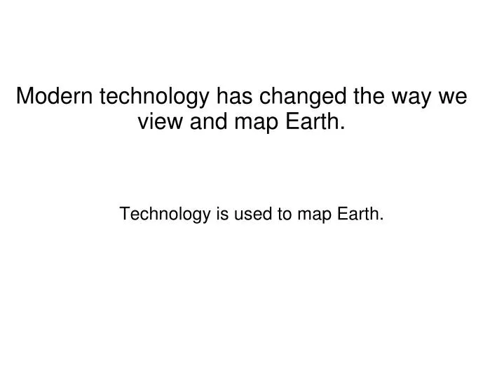
Technology is used to map Earth. Modern technology has changed the way we view and map Earth. Remote sensing provides detailed images of Earth. Remote sensing the use of scientific equipment to gather information about something from a distance.

E N D
Technology is used to map Earth. Modern technology has changed the way we view and map Earth.
Remote sensing provides detailed images of Earth. • Remote sensing • the use of scientific equipment to gather information about something from a distance. • can be as simple as a camera mounted on an airplane • can be as complex as a satellite orbiting Earth. • Early mapmakers • had to climb to high points to draw the landforms • took a great amount of time
Remote sensing provides detailed images of Earth. • Modern mapmakers use remote-sensing images to develop accurate maps of Earth’s surface. • Airplane cameras use film to record data. • Satellites use sensors to build images of Earth. • A sensor is a mechanical or electrical device that receives and responds to a signal, such as light. • Detect more than your eyes can see. • Collect information about different types of energy coming from Earth’s surface. • Send information to computers on Earth. • The computers turn the information into images. • Can be used to build an image of the entire planet, a single continent, or a detail of your area.
Energy source (usually the sun) or illumination (can be provided by the satellite also). Energy travels from its source, interacting and passing through the atmosphere. Energy interacts with its target. How it interacts depends on the properties of the target. Remote sensor collects and records the data. Data is transmitted to a processing station where it is processed into an image. Data is interpreted. Data is applied.
Remote sensing provides detailed images of Earth. Picture Sentence using scientific equipment to gather information about something from a distance
Remote sensing provides detailed images of Earth. Q. Describe how the technology of remote sensing has changed how mapmakers construct maps. A. Instead of climbing to high points and drawing Earth's surface by hand, modern mapmakers use remote-sensing images from airplanes and satellites to develop highly detailed and accurate maps of Earth’s surface.
Satellite sensors detect more than the eyes can see Satellites use sensors to build images of Earth Sensors collect information about different types of energy.
Remote sensing provides detailed images of Earth. Scientists study changes by using false-color images. In one type of false color image Earth’s natural colors are replaced with artificial ones to highlight special features. Q. What kinds of images can be built from satellite data? A. images of the entire planet, a single continent, or detailed closeups of a single location, such as a town Q Why are false-color images sometimes used instead of natural color images? A. False-color images allow scientists to observe changes in objects or processes more easily and clearly by highlighting them. Q. How are false-color images helpful to scientists and fire officials? A. False-color images can be used to track the outbreak and spread of dangerous wildfires.
Hemispheric color differences on Saturn’s moon Rhea are apparent in this false-color view from NASA’s Cassini spacecraft.
This composite false-color image shows the Cassiopeia A supernova remnant as seen by NASA's great observatories
Visualization showing the relative size of Mars compared to that of Earth. This version uses false color textures (there are corresponding true color versions as well). The colors correspond to the heights above/below 'sea level.' This version also includes pole axes and an orbit plane.
False color image of the topography of the floodplain (green) of the Missouri, Mississippi and Illinois Rivers (clockwise from the left).
Geographic information systems displaydata in layers. • Geographic information systems (GIS) • Computer systems that store and arrange geographic data • Display the data in many different types of maps. • Used by scientists, city planners, and engineers • Any geographic information can be entered into GIS and converted into a map. • Useful in displaying information about changes in the environment.
Geographic information systems displaydata in layers. Picture Sentence a computer system that can store, arrange, and display geographic data in many different types of maps
Geographic information systems displaydata in layers. Give one example of how and why GIS maps might be used by city planners or scientists. City planners: In planning an airport, city officials might need to know data about the population of an area, the landscape of an area, and the highways near an area. Scientists: GIS maps could be useful in helping scientists track changes in the environment, for example, tracking vegetation and animal populations in a certain area before and after a fire.